
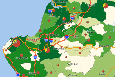
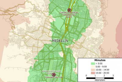
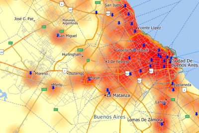
Maptitude Geographic Information System (GIS) software provides everything you need to realize the benefits of desktop mapping and spatial analysis with a single, easy-to-use package. When you purchase Maptitude you get a FREE Country Package that includes a detailed street layer with addresses for pin-mapping (geocoding) and travel time information for computing routes and drive-time rings. Also included are building footprints for many urban locations, railroads, and comprehensive named landmarks that range from public facilities to commercial buildings including shops, restaurants, and retail stores. Postal data and detailed demographics (where available) are shipped with the product. Additional Country Packages can be purchased separately.
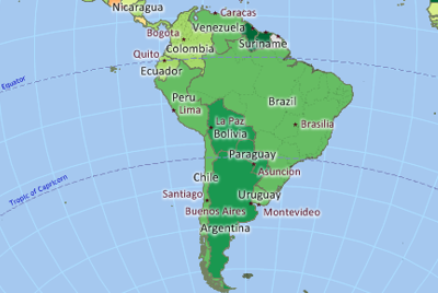
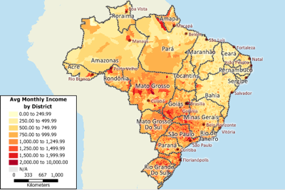
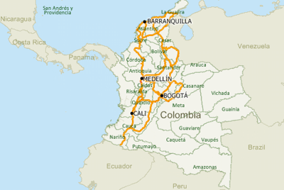
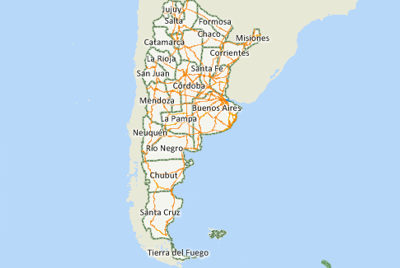
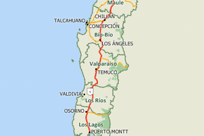
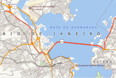
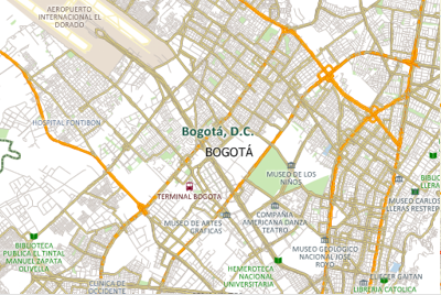
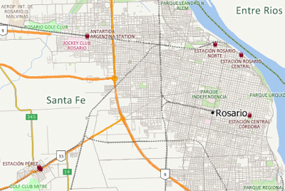
The following South American Country Packages are currently available for Maptitude:
![]()
![]()
![]()
![]()
![]()
![]()
![]()
In addition, Caliper has created a Download Free Layers Add-In for Maptitude that provides easy access to no-cost web-based data-sources. This tool downloads detailed data including streets, landmarks, natural features, railways and postal code points for Bolivia. In addition, you can download political boundaries for Bolivia, French Guiana, Guyana, Paraguay, Suriname, Uruguay, and Venezuela.
Maptitude also supports dozens of geographic file formats, table formats, and raster image formats.
For more information on Maptitude please visit the Maptitude Overview Page or email a request for a live demo now. For more information on the available South American data sets, please use the Country Package links above.

