
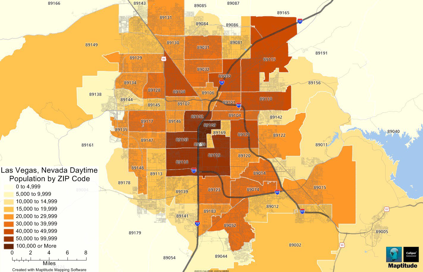
Maptitude is the best mapping software for business intelligence! This map shows the daytime population by ZIP Code in the Las Vegas area. The data were compiled using the ZIP Code data included in the Maptitude Mapping Software 2015 United States Country Package. The daytime populations were calculated taking into account the number of people employed in each ZIP Code along with the number of unemployed people, school age children, and senior citizens living in each ZIP Code. You can create daytime population maps such as this at the city, ZIP Code, and Census Tract levels for any location in the United States.
Map: Created with Maptitude Mapping Software by Caliper, August 2015
Source: Maptitude 2015 Country Package U.S. Census data

