
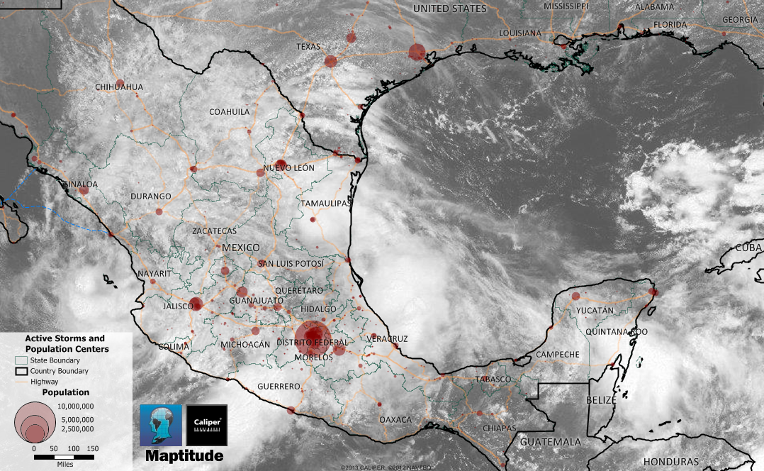
Maptitude is the best mapping software for business intelligence! This month, tropical storm Manuel traveled over Mexico's southwestern Pacific shoulder while Hurricane Ingrid weakened to a tropical storm after making landfall on the country's eastern coast. These weather patterns can be observed directly in Maptitude by using the WMS Image Toolbox. This tool provides "near real-time observations" provided by NOAA. This map shows satellite imagery of the storms and population centers.
Map: Created with Maptitude Mapping Software by Caliper, September 2013

