
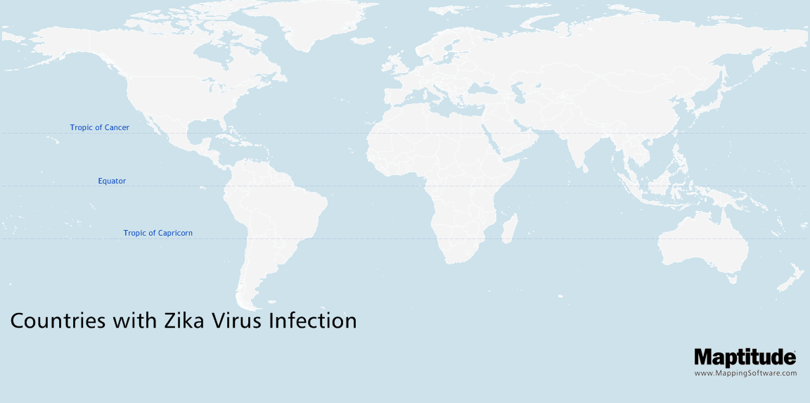
Maptitude is the best mapping software for business intelligence! This map shows the global spread of mosquito-borne Zika virus transmission. It shows which countries and territories that have experienced Zika virus transmission and when. The earliest cases were found in the 1940s and 1950s in Africa, and is has since spread through much of the tropics. Recently there has been a significant increase in the number of countries reporting mosquito-borne Zika virus transmission, with 46 countries experiencing a first outbreak since 2015. In addition, several countries have reported evidence of person-to-person transmission. These non-vector countries are noted on the map, though not by transmission date.
Map: Created with Maptitude Mapping Software by Caliper,
May
2016
Source: World Health Organization

