An equidistant projection is a map projection that maintains scale along one or more lines, or from one or two points to all other points on the map. The distance between the center point of the map and any other point is correct with an equidistant projection.
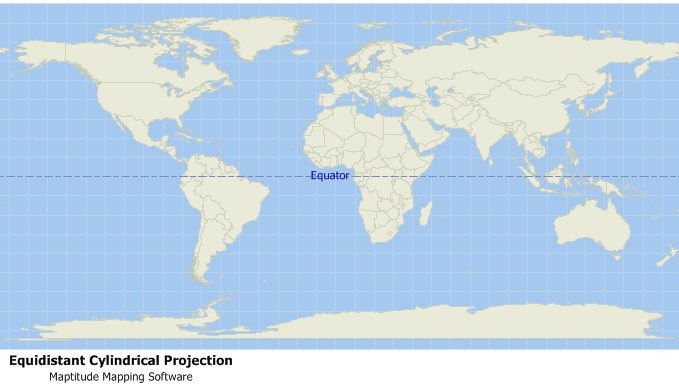
Maptitude Mapping Software gives you all of the tools, maps, and data you need to analyze and understand how geography affects you and your business. Maptitude supports dozens of projections to suit your needs.
Learn More Free Trial Free for Students/Teachers