Welcome
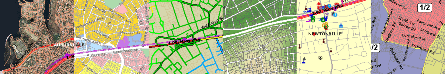
The Maptitude City Guide to Newton, Massachusetts offers a one-stop resource for accessing a wide
variety of data and information about Newton, Massachusetts. The
Points of Interest maps contain public and private points of interest
including parks, schools, churches, dining, lodging, and retail
stores. The
Population maps contain demographic data for blocks and
block groups from the 2000 Census, including age, race, income, and
education. The
Parcel maps contain aerial photography, parcels,
school districts, and voting districts. The maps include school
walking distance data that were computed with TransCAD Transportation
Planning Software and topography
that was computed with Maptitude. The data have been assembled from a
variety of sources, including the US Census Bureau and the local Chamber of Commerce.
For statewide statistics (including
crime, demographic, education, health, housing, and political data) by
city and town, see MassStats.com.
Working with the Maptitude City Guide
The data are arranged in a number of interactive maps. You choose the
map you want from the drop-down menu to the left of the maps and then
use the tools to move around the map, change the scale, or get
relevant data about the active map.
|
Tool |
How to Use It |
|
Zoom In |
Click and drag on
the map to zoom to an area |
|
Zoom Out |
Click and drag on
the map to zoom out |
|
Pan |
Click and drag on
the map to recenter the map |
|
Initial Map |
Click to show the
entire city boundary |
|
Info |
Click on the map; A
pop-up window displays data for the location where you clicked
|
|
Print |
Opens up a pop-up
window in a printer-friendly format |
You can also zoom to an address or ZIP Code by
typing in the street address and/or ZIP Code and clicking Find.

Powered by
Maptitude for the Web mapping
software by Caliper.
|