NEWTON, MASSACHUSETTS (USA) - Maptitude has been featured in coverage by Susan Smith of GISCafe in a special feature blog on Emergency Response and Recovery.
The generic GIS and mapping software capabilities of Maptitude are highlighted. There is a focus on how this versatility makes it possible for even small communities to model their towns to be better prepared for emergency events. The ability to model 3D environments at no additional cost is also emphasized as being beneficial when preparing and dealing with emergency situations.
"The change we have seen in emergency response mapping is the need to be able to rapidly map data, out-of-the-box, and to have the tools needed at the finger-tips of analysts to allow them to immediately analyze geospatial data," says Director of Product Management, Stewart Berry. "Maptitude meets those needs."
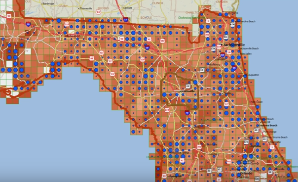
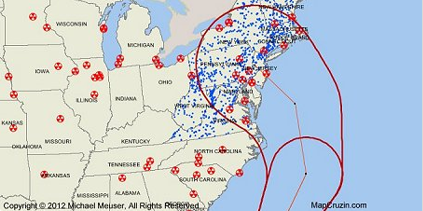
Several emergency response maps are used to illustrate the versatility of Maptitude for risk analysis, response, and recovery.
Caliper Corporation develops state-of-the-art Geographic Information Systems (GIS) software. With a focus on usability, Maptitude is designed to be a cost-effective, professional emergency response mapping software. Maptitude enables organizations to leverage their location-based data to improve decision making and planning, while minimizing expenditure through competitively priced solutions.
Caliper is a privately held corporation and is a leading developer of mapping, redistricting, transportation, and GIS software.