
|
|
| July 2011 |
|
|
Learn more about how Maptitude can help your organization: Marketing & Sales Mapping Software Precinct & Election Management |
|
|||||||||||
|
Featured Data
Product: State Legislative Districts and 111th Congressional Districts The Legislative Districts DVD is now available for the entire USA or for a single US state.
You will be able to answer questions such as "In whose districts are my addresses located?" or "In which districts should I expend the most effort?" Also included are 2010 Census population counts for the total population, for those 18 and over, and for race and ethnicity, and also total housing units broken down by whether they are vacant or occupied. Price: US$2,995 for the entire USA, US$495 per US State. Please call Caliper (USA) at +1 617-527-4700 to place your order. |
||||||||||||
|
Tech Tip:
Inserting a Vector Graphic into PowerPoint and Ungrouping Shapes
Another benefit of saving a map as an EMF is that the image can be ungrouped in applications such as Microsoft Office. The following steps walk you through this task: 1. Choose File-New, choose Map, then choose General Purpose Map and follow the prompts to map your area of interest. 2. Choose File-Save As, or click the right mouse button on the map window and choose Save As. Maptitude displays the Save As dialog box. 3. Choose Enhanced Metafile from the Files of Type drop-down list, type a new name for the file, and click Save. 4. Once you have inserted your EMF into an Office Document such as a PowerPoint slide, you can follow the steps in the following link to ungroup your vector map features: |
||||||||||||
|
Featured Maptitude Maps:
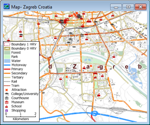
Citizens Redistricting Commission (CRC) visualizations for potential congressional seats in California This month we showcase maps from Redistricting Partners:
If you would like to see your maps showcased here, please contact Caliper. |


 The Legislative Districts DVD is packed with essential information
for corporate legislative affairs departments, lobbyists, political
consultants, political parties, and anyone else involved in
political affairs. The product has been updated to reflect the
latest 2010 boundaries and current US Congressmen's names and office
addresses.
The Legislative Districts DVD is packed with essential information
for corporate legislative affairs departments, lobbyists, political
consultants, political parties, and anyone else involved in
political affairs. The product has been updated to reflect the
latest 2010 boundaries and current US Congressmen's names and office
addresses.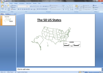 Maptitude allows you to
save a map as an Enhanced Metafile (*.EMF). An Enhanced Metafile is
a graphics file format that contains vector graphics and prevents
any image fuzziness.
Maptitude allows you to
save a map as an Enhanced Metafile (*.EMF). An Enhanced Metafile is
a graphics file format that contains vector graphics and prevents
any image fuzziness.
