Maptitude Help / Projections and Coordinate Systems / Locating Points on the Earth
Locating Points on the Earth
Maptitude stores and reports the locations of map features in degrees of longitude and latitude. Longitude is a measure of how far east or west the point is from a line called the Prime Meridian. The Prime Meridian is an artificial line that connects the North Pole and the South Pole and runs through Greenwich, near London, in the United Kingdom. Latitude is a measure of how far north or south the point is from the Equator.
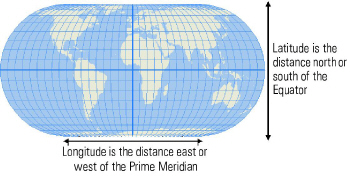 Longitude and latitude are measured in degrees. Since there are 360 degrees in a circle, longitude values are between minus 180 degrees and zero in the Western Hemisphere, and between zero and plus 180 degrees in the Eastern Hemisphere. Latitude values are always between minus 90 degrees (the South Pole) and plus 90 degrees (the North Pole).
Maptitude stores all location information in geographic files using millionths of degrees of longitude and latitude. This means that locations can be accurate to within just a few inches. When you create new geographic files and add features to them, Maptitude converts the locations you enter using a mouse or digitizer into degrees of longitude and latitude, and stores these values in the geographic file. When you import information from another program into Maptitude, locations are converted automatically to degrees of longitude and latitude.
Whenever you work with a Maptitude map, the longitude and latitude of the cursor are displayed in the status bar at the bottom of the screen. As described in “About Coordinate Systems,” later in this chapter, Maptitude lets you display map locations using a variety of coordinate systems other than longitude and latitude. No matter which coordinate system you choose for display purposes, the data in geographic files are always stored in longitude and latitude coordinates.
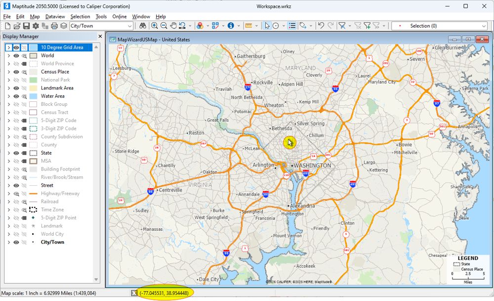
The status bar shows that the cursor is at -77.045531 longitude and +38.954448 latitude
©2026 Caliper Corporation