Maptitude Help / Projections and Coordinate Systems
Projections and Coordinate Systems
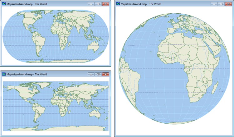
One of the challenges of making maps is to represent the curved surface of the earth on a flat computer screen or a piece of paper. Map makers through the ages have faced this issue, and developed specialized tools for addressing it. First, they developed a common reference system that could be used to identify the location of any point on the surface of the earth. Then they devised methods for taking points on the curved surface of the earth and “projecting” them onto a flat surface. These methods enable map makers to control the distortion that results from creating a flat map of the round earth. This appendix explains how Maptitude works with data stored in hundreds of different coordinate systems that are widely recognized across the United States and around the world.
Topics in this section:
- Locating Points on the Earth
- About Map Projections
- About Coordinate Systems
- About Ellipsoids
- Displaying XY Coordinates
©2026 Caliper Corporation