TransCAD includes over 2GB of geographic and Census demographic data. TransCAD is also available with nationwide, routable HERE data for a single country – please see the TransCAD Country Data page for more information on the data provided.
Additional geographic and demographic data products are available from Caliper including Census Blocks and Congressional Districts. Click here for complete information on data products available for purchase.
Call Caliper at +1 617-527-4700 to place your order, or download the order form and fax it to +1 617-527-5113.
| Custom Service Pack | Price | Comments | |
|---|---|---|---|
| 10-Hour Service Pack | $2,950 | 10 hours prepaid consulting by phone, email, or GoToMeeting or Microsoft Teams | Order Form |
| TransCAD Support | Price | Comments | |
| TransCAD Support
1-Year Extension |
$2,200- 3,300 | If your current support contract has expired, a surcharge will be assessed to cover support reinstatement. Contact Caliper for more information and for HERE data update pricing. | Order Form |
| Data | |||
| CLICK HERE for information on other geographic and demographic data products available from Caliper | |||
| Other Products | Price | Comments | |
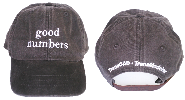
| TransCAD/TransModeler "Good Numbers"™ Hat | $19.95 |
|
|
NOTE: All prices are in U.S. dollars and exclude shipping, taxes, and/or import fees. Orders received before 3pm (Eastern time) will be processed the same day. Orders received after 3pm usually ship same day, but may be processed on the next business day.
Caliper also offers a full range of GIS and transportation software development and implementation services. Our transportation and GIS professionals provide assistance in assessing data requirements, database strategy and design, database development, and transportation modeling. Caliper also provides custom application and turnkey system development services.
Academic discounts are also available. TransCAD Academic Licenses are for use by academic institutions solely for unfunded research and teaching.
* Call or see the order form for information on
volume discounts and Turnkey Software Licenses.
Home | Products | Contact | Secure Store