

Caliper Corporation, founded in 1983 and headquartered in Newton, MA, is a technology leader in the development of geographic information systems (GIS) and transportation software. Caliper is also a highly regarded consulting and R&D provider offering professional services in quantitative management consulting, transportation, and decision support systems development. Caliper software products are supported with extensive technical services in GIS applications and training, database development and software customization.
Caliper is the developer of TransCAD® Transportation Planning Software, TransModeler® Traffic Simulation Software, and Maptitude® Geographic Information System Software packages.
| Contact Us | Media Relations |
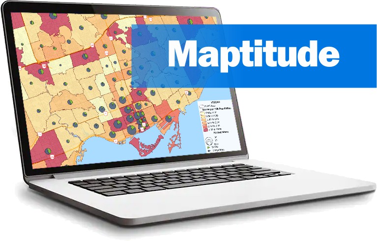
Maptitude is the most intuitive and affordable full-featured mapping software. Designed for data visualization and geographic analysis, Maptitude surpasses other mapping software. Maptitude provides expanded functionality, unequaled technology, and incomparable ease of use at a fraction of the price of other applications. Maptitude comes with a comprehensive library of nationwide and worldwide maps and Census demographics. Maptitude is the best mapping software to:
Maptitude was first released in 1995.
Maptitude Online is a software-as-a-service (SaaS). It is both a "sharing add-in" to desktop Maptitude and a stand-alone online GIS application. This SaaS brings the benefits of the intuitive and powerful analytics of the desktop product to coworkers, stakeholders, and the public. Whether you are sharing your routes or fleet models to your sales reps and drivers, or displaying revenue and sales numbers by territory for management, Maptitude Online has the tools to perform these tasks efficiently and cost-effectively.
Maptitude for Redistricting is a specialized version of Maptitude that is used by a supermajority of the state legislatures, political parties, and public interest groups for political redistricting.
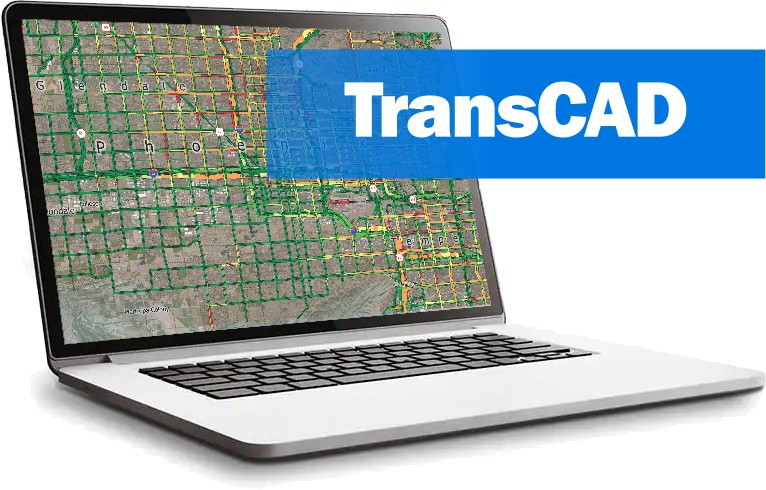
TransCAD Transportation Planning Software is the only GIS designed specifically to support transportation applications such as transportation planning, facilities management, public transit, and logistics. TransCAD is used extensively for transportation database development and maintenance, demand forecasting, operations management, and vehicle routing and scheduling. TransCAD is widely used in both the public and private sectors, with a very large user base among branches of the US DOT, state DOTs, and many statewide and regional planning agencies.
Since its release in 1988, TransCAD has grown to become the dominant GIS in many of its specialized application areas.
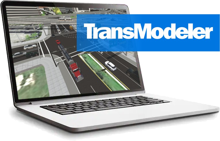
TransModeler is a powerful and versatile traffic simulation package applicable to a wide array of traffic planning and modeling tasks. TransModeler can simulate all kinds of road networks, from freeways to downtown areas, and can analyze wide area multimodal networks in great detail and with high fidelity.
Based upon the latest research, TransModeler employs advanced methodological techniques and software technology to bring traffic simulation into a new era. It simulates public transit as well as car and truck traffic, and handles a wide variety of ITS features such as electronic toll collection, route guidance, and traffic detectors. You can use TransModeler with TransCAD to provide an integrated capability to perform operational analysis of transportation projects and plans.
TransModeler SE is a complete traffic impact study in one software package. TransModeler SE is a powerful microsimulation, traffic impact analysis, and traffic signal optimization tool that is HCM 6th Edition compatible.