Maptitude Help / Surface Analysis Tools
Surface Analysis Tools
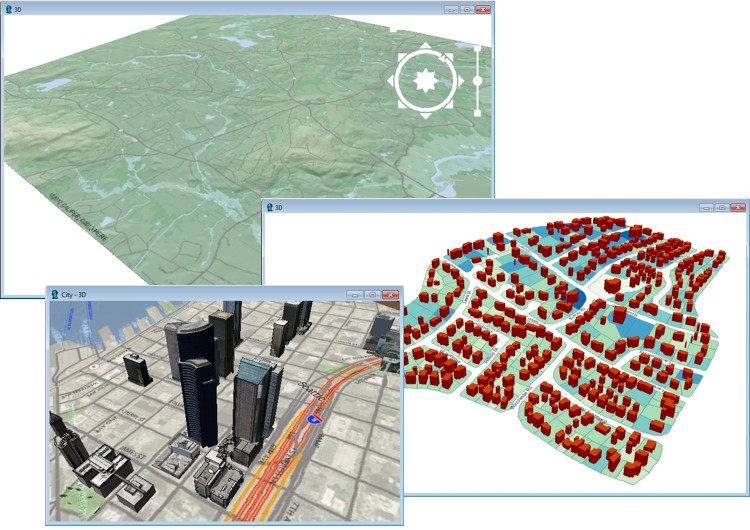
With Maptitude you can analyze and display terrains on a two-dimensional map in a map window or as a 3D map in a 3D View. You can prepare the terrain from a regular or irregular set of points in a point layer, or from a regular set of points in a grid layer.
For each point there is an elevation value, typically measured in feet or meters above sea level. Maptitude can also create terrains that represent data values such as a measure of air pollution or levels of radon gas over a geographic region. These models may be used to generate contours or to interpolate data values at specific locations.
Topics in this section:
©2026 Caliper Corporation