

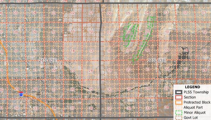
The Public Land Survey System (PLSS) is a way of dividing up large parts of the United States into regular square sections that was created in 1785. Participating areas were divided into 6-mile by 6-mile squares called townships, which were then each divided further into 1-mile by 1-mile squares called First Divisions (Sections, Protracted Blocks, Unsurveyed Unprotracted, Unsurveyed Protracted). Each of these were then divided into 1/4-mile by 1/4-mile squares called Second Divisions.
The PLSS data set contains several layers. The PLSS divides large areas of the country into 74,291 Townships, 2,377,287 First Divisions, or 24,133,321 Second Divisions. Also included in the data are the layers Survey System, which covers parts of the country not in the PLSS, Meandered Waters, and Conflicted Areas, a layer made necessary by the imperfect origins of the PLSS which contains a field describing the nature of the area's issue.
Also available is the Texas variant of this system (TXSS).
PLSS Data Map
"Over the past several years I’ve spent dozens if not hundreds of hours trying to figure this out. But the Maptitude PLSS data is wonderful because it covers most of the US and not just Oklahoma and includes Texas which is unique and covers quarter sections and below. Miraculous. I’m not sure that you Yankees understand just how useful this data is to us folks in flyover country. But it’s great. Thanks."
Larry D. Lahman | Mitchell DeClerck | Oklahoma’s Oldest Law Firm Founded 1893
*Requires latest Maptitude or TransCAD license