Maptitude Geographic Information System (GIS) software is the intelligent mapping solution for business, government, and education. Maptitude is a powerful combination of software and geographic data that provides everything you need to realize the benefits of desktop mapping and spatial analysis with a single, easy-to-use package. Maptitude includes one free Country Package of your choice (a US$695 value).
Priced at only US$795, Maptitude with the Ireland Country Package is the best buy for those looking for Ireland and world mapping software.
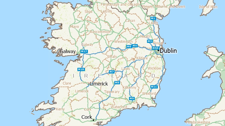
Maptitude mapping software for Ireland.
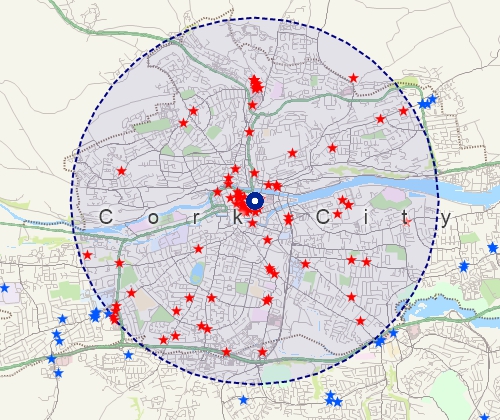
Locate your customers with Maptitude Ireland mapping software
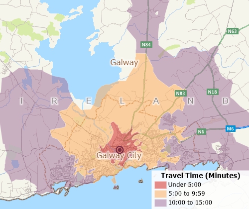
Perform drive-time analysis
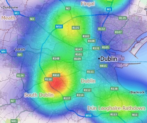
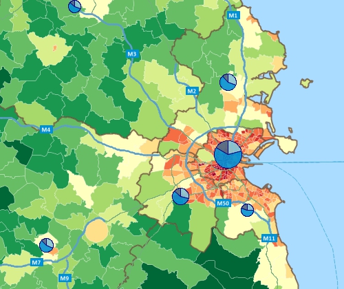
Visualise spatial patterns
The Ireland Country Package requires Maptitude 2026 or later and it is available to existing Maptitude users for US$695.
The Ireland Country Package includes extensive geographic data so that you can get started as soon as you install the software. The following geographic files are included with the Maptitude Ireland Country Package:
| Nationwide HERE Ireland Geographic Data Layers |
|---|
HERE data are from October 2025. |
| Other Included Ireland Data |
|---|
|
Also included are geographic files for the United Kingdom. For more information, see the Maptitude United Kingdom Country Package page.
Create many types of thematic maps
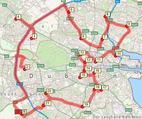
Find optimised routes serving multiple stops
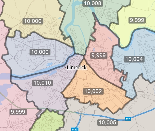
Create balanced territories
Includes over 90 fields of demographic data describing population, dwellings, age, marital status, country of birth, household size, housing tenure, and commute method are included for the following geographic layers:
Home | Products | Contact | Secure Store
