Mapping Software and GIS Glossary
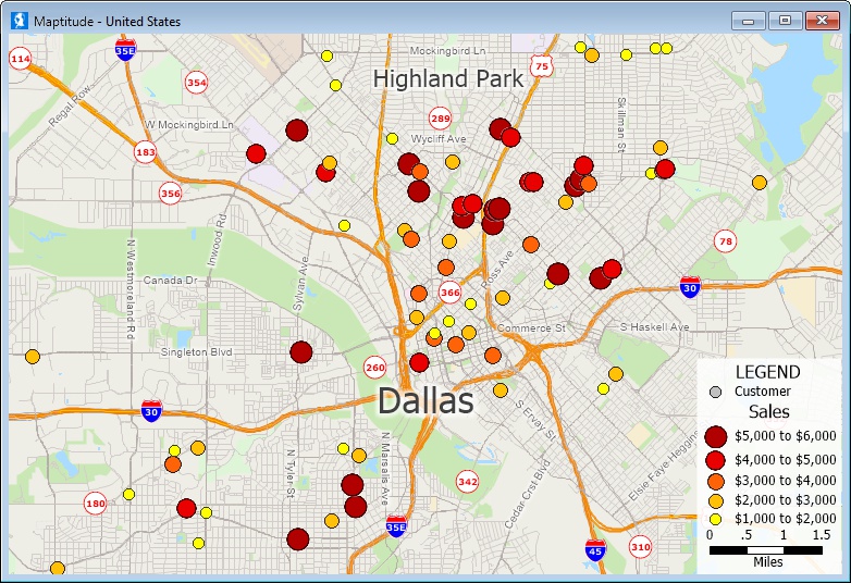
A basemap is the background map providing reference information for other layers in a GIS. It offers essential geographical context for data visualization. Basemaps typically include geographical features such as coastlines, major roads, and political boundaries. Users overlay additional thematic layers onto the basemap to analyze spatial relationships and patterns. Basemaps are essential for creating visually appealing and informative maps and help users gain a better understanding of the spatial distribution of data.
For example, Maptitude provides default basemaps for immediate use with your own data. The Wizard-driven interface uses these maps to simplify the map creation process, making it easy to overlay external information in an understandable geographical context.
Maptitude Online also provides default background layers and maps.
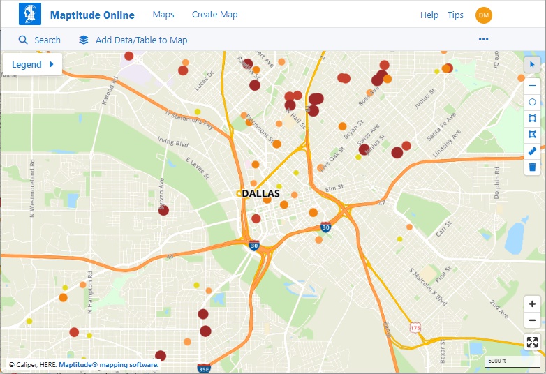
In both the desktop and Cloud versions of the software the basemaps can be customized to meet your specific analysis, reporting, and presentation needs.
Learn More Free Trial Free for Students/Teachers
Home | Products | Contact | Secure Store
