Maptitude Help / Creating and Using Layouts
Creating and Using Layouts
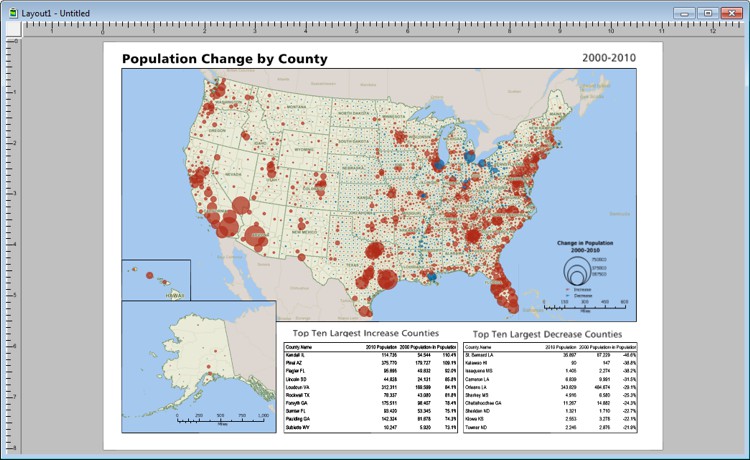
A Maptitude layout is an arrangement of maps, dataviews, figures, text, and freehand drawings. You create a layout when you want to print two or more maps on a single document or to combine maps with dataviews, text, or drawings to make a point. You also use layouts when you want to print maps or figures that are larger than a single sheet of paper.
In addition, a layout can serve as a template for reports or production work. You can set up a standard report or presentation page, add company logos or other design elements, and designate spaces into which you can fit maps and dataviews.
Any layouts that you have open in your workspace are saved as part of the workspace. When you close and reopen the workspace, your layouts will be restored.
 |
For a video tutorial see: (Internet connection required) |
Topics in this section:
©2026 Caliper Corporation