![]()
![]()
![]()
![]()
![]()
![]()
![]()
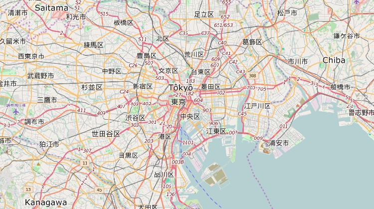
Maptitude world mapping software allows you to plot your locations by coordinate, manually, or by any populated place in the world (village, town, city), or to view your data by country or province. Maptitude comes packed with data, including extensive world geography such as:
These international mapping software databases included with Maptitude allow you to create effective maps of any region in the world.
Use the mapping and analysis tools in Maptitude for world mapping at any scale for any location on the globe.
In addition to the world maps, Maptitude includes more detailed data for one country of your choice (Argentina, Australia, Bolivia, Brazil, Canada, Chile, Colombia, Ecuador, France, Germany, India, Ireland, Italy, Mexico, Netherlands, New Zealand, Peru, Portugal, Russia, South Africa, Spain, Switzerland, United Kingdom, and U.S.A.). Additional Country Packages can be purchased for US$595. Please contact Caliper Sales at +1 617-527-4700 or email sales@caliper.com to check on the availability of street, postal code, and other geographic files for additional countries.
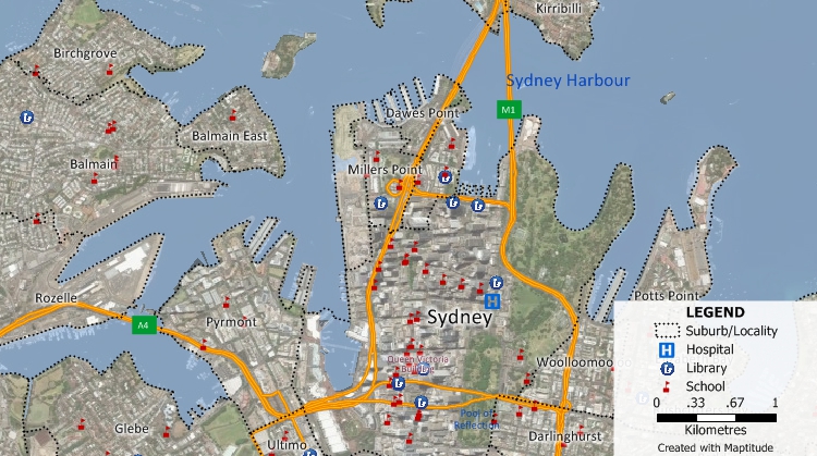
Maptitude Country Packages include detailed street level data with drive-times and address ranges for locating your customers, finding routes, and generating drive-time rings.
Many Maptitude Country Packages (including USA, UK, Australia, Canada, Germany, New Zealand, and more) also include detailed demographic data.
The Download Free Layers Add-In provides easy access to no-cost web-based data sources. This tool downloads administrative boundaries for any country, while detailed data that includes many roads, postal codes, landmarks, natural features, and railways is available for a growing number of countries. You can further enhance your maps by using the included tools for accessing free imagery from the Internet. With a single mouse click you can download aerial imagery for anywhere in the world.
Use the Download Free Layers add-in and the web map layers command to access mapping data to use with Maptitude
With an internet connection, you can download aerial imagery and topographic maps with a single click.
Maptitude also has GPS support, allowing you to track your location anywhere in the world, perform field data collection, or create and edit geographic files.
 Check out our G2 Reviews