Maptitude Help / Creating Maps
Creating Maps
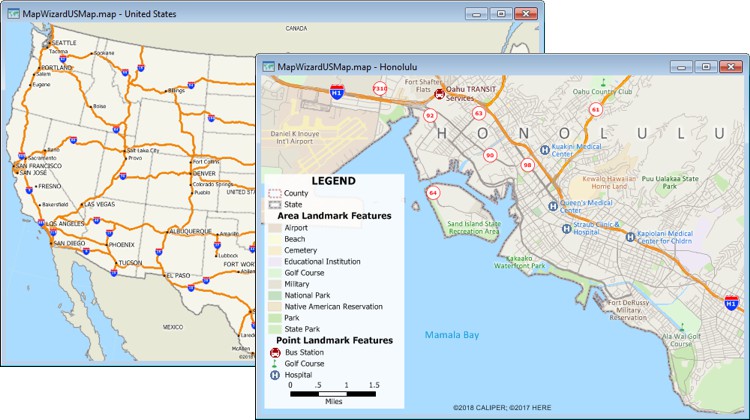
Maptitude organizes the information in a map into layers. Each layer is a group of features of the same type, such as states, highways, or landmarks that is stored in geographic files on your computer or embedded in your workspace. In addition to the Caliper file formats, you can open many other geographic file formats as layers in your map. You can also use Create-a-Map Wizard™ to automatically create a map showing an area of your choosing or showing your data attached to it.
You can control the contents of a map by choosing which layers to include and the order in which they should be drawn. You can also set layers so that they display automatically at certain map scales. The Display Manager gives you a powerful tool for viewing and controlling your map settings, including the styles, colors, and labels used in your maps.
Your workspace can contain any number of maps.
 |
For a video tutorial see: (Internet connection required) |
Topics in this section:
- Creating a Map
- Changing the Contents of a Map
- Using Other Geographic Files
- Using the Display Manager
- Using Styles
- Using Labels
- Where a Layer Gets Its Style and Label Settings
- Printing a Map
- Saving, Closing, and Opening Workspaces
- Organizing Maps in a Map Library
- Locating Geographic and Other Data Files
©2026 Caliper Corporation