Maptitude Help / Geocoding
Geocoding: Locating Your Data on a Map
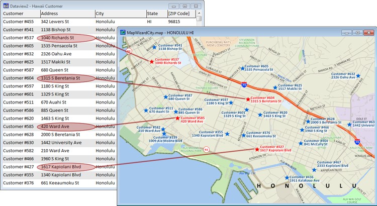
Many of the databases you use in your work contain information on facilities, customers, survey respondents, and so on. One way you can use your data with Maptitude is to locate your data on a map by creating a new geographic file that contains a point feature for every record in your database. This is sometimes known as pin mapping, because it is like hanging a paper map on the wall and marking the locations of interest with pushpins. In addition to the Create-a-Map Wizard tool, Maptitude offers six different commands for locating your data on a map.
Once you have located your data, you can create themes to show the characteristics of each feature, label features on the map with information from your database, or filter the features based on location or attributes.
Maptitude can also read geotags from the images in a folder and create points in a geographic file based on the coordinate information in the images.
Topics in this section:
©2026 Caliper Corporation