| Mapping, GIS, & Transportation Software Solutions |
| Mapping, GIS, & Transportation Software Solutions |
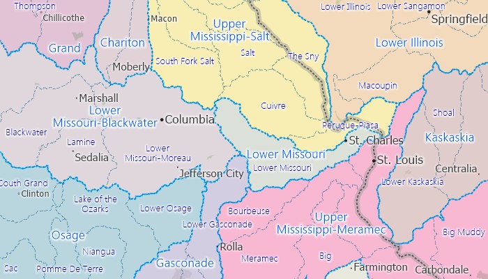
The Watersheds layer contains an area database with nationwide boundaries of 2,252 U.S. watersheds. Watersheds are those land areas that catch rain or snow and drain to a specific marshes, streams, rivers, lakes, or to ground water. They are equivalent to the smallest level of USGS hydrologic units.
Available in Caliper CDF format for use with Maptitude and TransCAD. To learn about data availability in other GIS file formats, please contact a Caliper data expert today by emailing sales@caliper.com or by calling us at +1 617-527-4700.
To order or learn more, please contact a Caliper data expert today by emailing sales@caliper.com or by calling us at +1 617-527-4700.
Hydrologic region
Hydrologic subregion
Hydrologic accounting units
*For use with a single copy of Caliper's Maptitude Mapping Software or TransCAD Transportation Planning Software
Home | Products | Contact | Secure Store