| Mapping, GIS, & Transportation Software Solutions |
| Mapping, GIS, & Transportation Software Solutions |
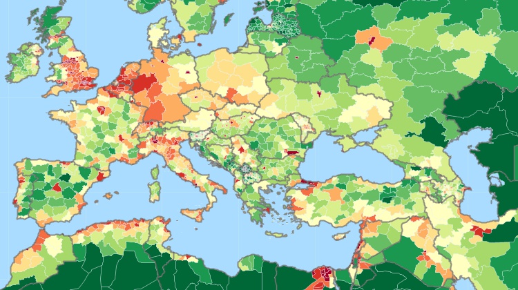
A free area file* with population counts by sub-national boundaries is available for download to users of the latest version of Maptitude. The World Province Boundaries layer is perfect for analyzing population counts anywhere on earth, and is especially useful for creating and managing global territories for sales, marketing, and business development.
*Requires latest Maptitude or TransCAD license
Home | Products | Contact | Secure Store