Buy Now 

Free Trial

$695

Videos

Reviews

OTHER COUNTRIES >>
Maptitude Germany Mapping Software

 Germany

Maptitude Mapping Software for Germany

Maptitude Germany 2020 Country Package (Also includes Austria and Switzerland)

Maptitude Geographic Information System (GIS) software is the intelligent mapping solution for business, government, and education. Maptitude is a powerful combination of software and geographic data that provides everything you need to realize the benefits of desktop mapping and spatial analysis with a single, easy-to-use package. Priced at only US$695, Maptitude is the best buy for those looking for mapping software.

Maptitude includes one free Country Package of your choice (a US$595 value). Get the DACH Country Package with your Maptitude order to get detailed Germany maps (also includes Austria, Liechtenstein, and Switzerland).

Key Features of Maptitude with the Germany/DACH Country Package:

  • Includes a nationwide Street layer with address ranges for geocoding (pin-mapping) and routing
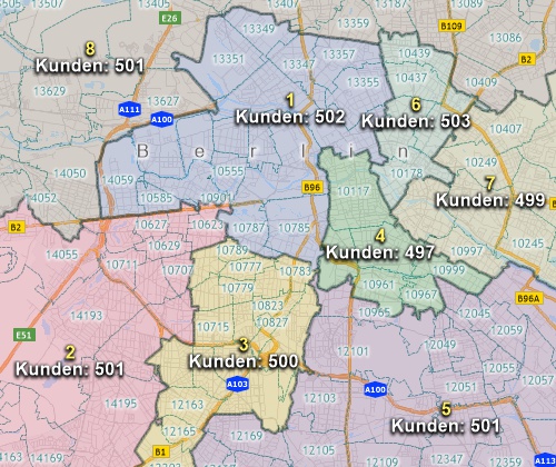
  • Includes Postal Areas for sales and territory mapping
  • Includes administrative boundaries for the whole of Germany
  • Includes 159 fields of demographics describing population, age, gender, marital status, nativity, and religion
  • Integrates with Google Earth for any location both inside and outside of Germany
  • Supports data in many of the spreadsheet, database, and geographic formats used in Germany (more...)
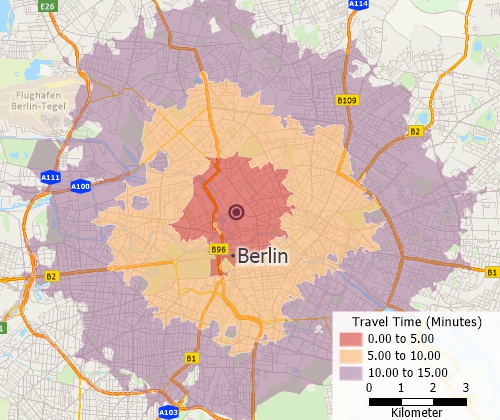
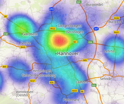
  • Includes sophisticated analysis tools for building rings (bands/buffers), facility areas of influence, hot-spots, origin-destination flow lines, districts, drive-time rings, drive-time territories, routes, and 3D surfaces (more...)
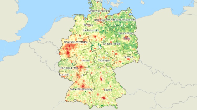
  • Includes MapWizard® instant mapping technology for creating color, scaled-symbol, dot-density, and pie and bar chart thematic maps
  • Available add-in for displaying menus in German
  • Includes GISDKTM application development platform (more...)
  • Includes 60 days of email technical support!

The 2020 Germany Country Package requires Maptitude 2020 or later and it is available to existing Maptitude users for US$595.

  • Maptitude mapping software for Germany.
  • Create Germany maps at any scale.

  • Visualize spatial patterns.

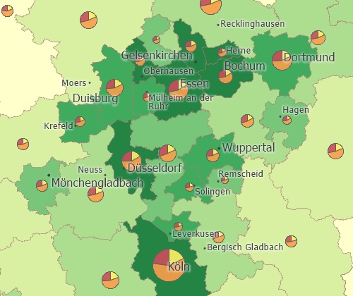
  • Create many types of thematic maps.

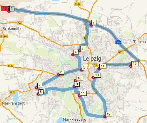
  • Perform drive-time analysis.

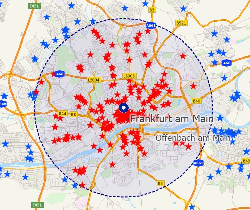
  • Locate your customers.

Geographic Data Included with the Germany 2020 Country Package:

The Germany Country Package for Maptitude includes extensive geographic and demographic data so that you can get started as soon as you install the software. The following geographic files are included:

Nationwide HERE Germany Geographic Data Layers
  • Building footprints (where available)
  • Gemeindes*
  • Highways
  • Kreis*
  • Landmark Areas and Points
  • Populated Places (Includes one field of population)
  • Postal Code Areas and Points
  • Railroads
  • Rivers
  • Settlements
  • States*
  • Streets
  • Water Areas
* Includes 159 fields of demographics describing population, age, gender, marital status, nativity, and religion

HERE Maps for Live Logo
  HERE data are for October 2017.

Demographic Data Included with the Germany Country Package

The Germany Country Package includes 159 fields of demographic data describing population, age, gender, marital status, nativity, and religion for the following geographic layers:

  • Gemeinde
  • Kreis
  • State


For more information on Maptitude please visit the Maptitude Overview Page (English or Deutsch) or email a request for a
live demo now.