|
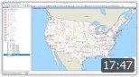
Maptitude Basics
September 2025
This webinar helps you get started using Maptitude. We discuss mapping your data, moving around the map, changing appearance of points/areas, and other basics.
|
|
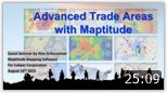
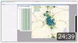
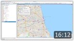
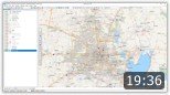
Site Selection and Analysis
September 2025
This webinar covers analyzing existing site locations and their demographics, as well as identifying and evaluating potential new locations.
|
|
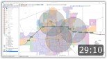
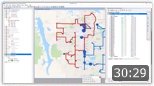
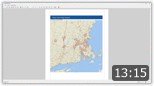
Creating Routes
August 2025
This webinar walks through the various routing/route calculation tools in Maptitude. We discuss creating routes interactively and from your own data,
creating routes for a fleet of vehicles with
time windows, and creating travel-time bands and
tables.
|
|
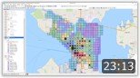
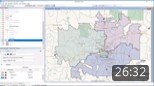
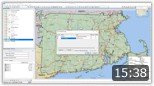
Using the Sales Territory Wizard
September 2024
This webinar demonstrates the Maptitude territory wizard. We discuss creating territories interactively, creating territories from a table, and modifying/balancing existing territories.
|

|
Using Maptitude in Real Estate
May 2023
This webinar demonstrates how you can leverage the tools in Maptitude to complete projects specific to the real estate industry.
|
|
Using Maptitude in Healthcare
May 2023
This webinar demonstrates how you can leverage the tools in Maptitude to complete projects specific to the healthcare industry.
|
|
Using Maptitude for Logistics
May 2023
This webinar demonstrates how you can leverage the tools in Maptitude to complete projects specific to routing and logistics.
|
|
Using Maptitude in Banking
May 2023
This webinar demonstrates how to leverage the tools in Maptitude to complete projects in the banking industry.
|
|
Maptitude for MapPoint Users
March 2021
This webinar will help MapPoint users get started using Maptitude. We discuss mapping your data, changing map styles, getting reports, creating drive-time rings, the hover tool, and creating territories.
|
|
Using MapPoint Data in Maptitude
March 2021
This webinar demonstrates using MapPoint data in
Maptitude. We discuss importing a file that
contains point locations and territories,
editing territories and displaying patterns in
the point data. We also import a Streets & Trips
file and create a route.
|
|
Using Layouts
March 2021
This webinar walks through creating and editing map layouts. We discuss setting layout dimensions and specifications, using the drawing and alignment tools, and exporting to various image formats.
|
|
Creating Buffers
March 2021
This webinar walks through creating buffers/rings around locations and pulling data for those areas. We discuss different methods for drawing buffers, creating buffers around lines and areas, and exporting demographic reports.
|
|
Selection Methods
March 2021
This webinar walks through the selection tools and creating selection groups for various layers. We discuss various methods for selecting features in a layer, and changing the style/appearance of these groups.
|
|
Creating Points, Lines, Areas, and Buffers Interactively
August 2020
This webinar walks through creating geographical features manually. We discuss how to draw points, lines, circles, and custom polygons manually, and how to report on the data in these areas.
|
|
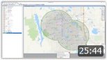
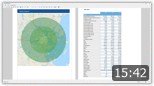
Creating Drive-Time Rings
July 2020
This webinar walks through creating drive-time rings around chosen points. We discuss placing points interactively or by address, creating different drive-time radii, and exporting the demographics for the rings.
|