The Maptitude for Redistricting application first shipped in 1997. Our clients have used the redistricting app to create thousands of redistricting plans. Today, 35+ states and many local governments, public interest groups, research facilities, political organizations, and the Department of Justice are using the latest version of the application for a range of activities including importing and analyzing existing plans, tracking changes in demographics, creating maps with the latest political data, building redistricting plans using estimated data, and preparing staff for each redistricting cycle. We provide software, data, training, and support services to these clients throughout the redistricting cycle.
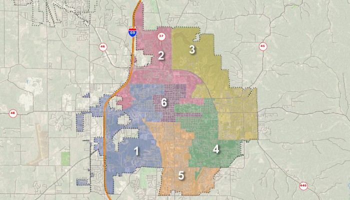
Districts created with Maptitude reapportionment application
A web-based version, Maptitude Online Redistricting, is suitable for individual citizens and legislators who wish to propose boundaries for their district or even an entire plan. Maptitude 2021 online solutions allow the public to perform DIY redistricting. This public mapping helps counter the gerrymandering of congressional districts and improves the redistricting process. There is also a version that runs as an extension to ArcGIS if you prefer working in that GIS environment.
To learn more about Maptitude for Redistricting, please see the Features page. For more information on the City/County Edition, contact Caliper Sales at sales@caliper.com or by phone at 617-527-4700.
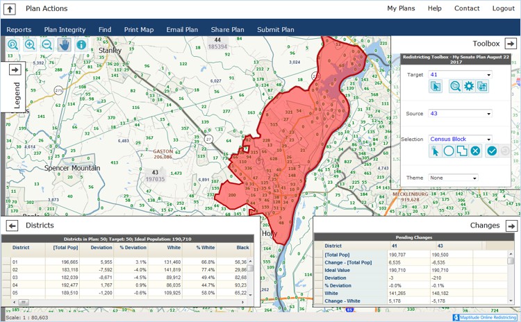
Redistricting application
The Maptitude redistricting application is the perfect solution for adding additional GIS users where Esri software is already in use. Maptitude:

|
“It's light years ahead. The software can do so much more, so much more quickly.” Karl Aro |
Redrawing the boundaries of congressional and state legislative districts is a process known as redistricting. Following the completion of the United States census, districts are redrawn every decade.
In the 2020 redistricting cycle, several applications give access to population and election data allowing people to design, alter, and share district maps based on factors including competitiveness and demography. Apps come in a variety of shapes and sizes, with some aimed at state governments and others at the public. Some programs offer datasets with different levels of depth and breadth, while others rely on user input.
Maptitude for Redistricting is the most widely used redistricting application.
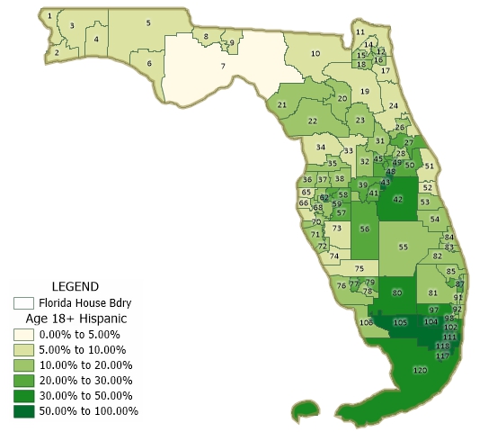
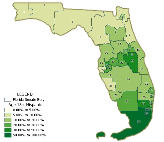
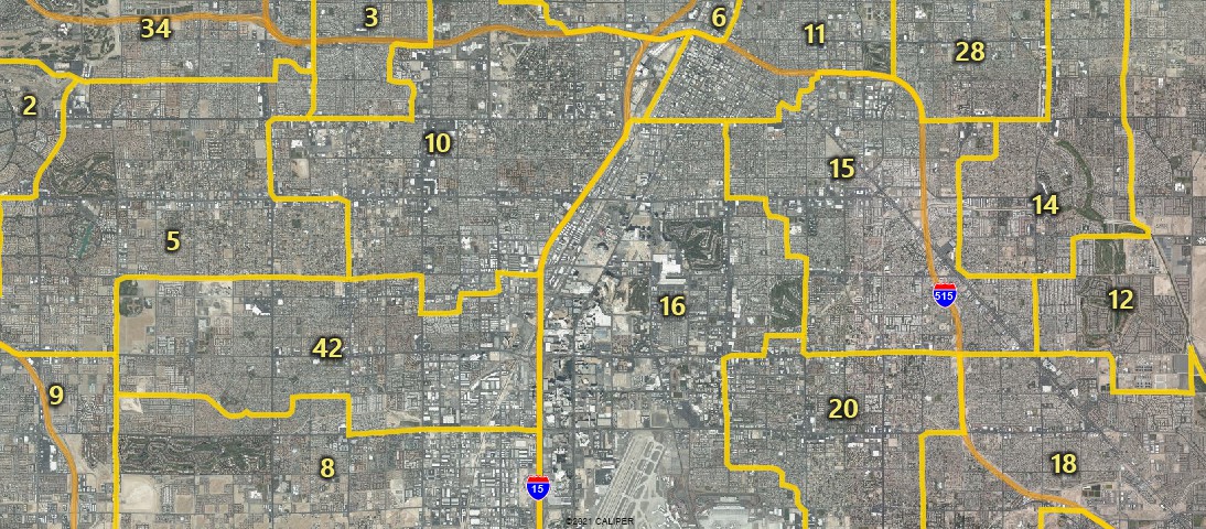
Florida legislature districts map, Florida senate districts map, and Nevada legislature districts map
![]() Creating
Transparency, Openness, and Trust: Modern Approaches to
Redistricting
Creating
Transparency, Openness, and Trust: Modern Approaches to
Redistricting