| Mapping, GIS, & Transportation Software Solutions |
| Mapping, GIS, & Transportation Software Solutions |
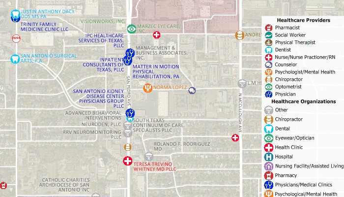
FREE layers of healthcare data for the USA are available for current users of Maptitude*. If you do not have Maptitude, contact us to request the data in other GIS file formats (e.g., shapefile, KML, KMZ, GeoJSON). Four separate geographic files are included in this download:

|
“As the Primary Care Association for Florida, we are able to map Community Health Center locations and overlay surrounding data built into Maptitude to assist in planning and responding to the needs and social determinants of health for over one and a half million patients, as well as all Floridians (everyone is eligible to be an FQHC patient). The ability to import data and simultaneously look below the surface to map transportation, economic conditions, and other key demographic characteristics provides an additional means by which Health Centers can strategize and implement action plans in addressing the health and environment in/around their service areas. This tool is very powerful, once able to harness the full extent of its scope.” Ben Browning, MPA |

|
“This is awesome mapping software. We use it to create heat maps of where our patients live. This allows us to intelligently decide where to add services in our area.” Philip Moya |
*Requires latest Maptitude or TransCAD license
Home | Products | Contact | Secure Store