The Neighbors Add-In provides the ability to quickly check neighbor
adjacency in a map based on a neighbors/adjacency table. This tool is
specifically designed to analyze cellular phone communication networks using
the sector layers created with the Sectorization
Add-In.
To install:*
- Download and install a
free trial of Maptitude mapping software, or use your own
license of desktop Maptitude.
- Download the file
neighbors-addin.exe.
- Open the file or choose the Run command from the Start menu, and
browse to the neighbors-addin.exe file in the folder where you
downloaded the file.
- Click OK and follow the step-by-step instructions to install the
add-in.
*The Neighbors add-in works only with latest version of
Maptitude.
To Use the Neighbors Add-in:
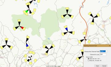
- Open a table that defines adjacency. This table must have at
least two fields: one with the IDs of each transmitter in your
network and one with the IDs of the neighbor transmitter. If a
transmitter has more than one neighbor, the table must contain
separate records for each neighbor.
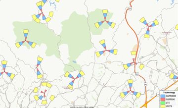
- Open a map containing a Sectors layer created with the
Sectorization Add-In, and make this layer the
working layer.
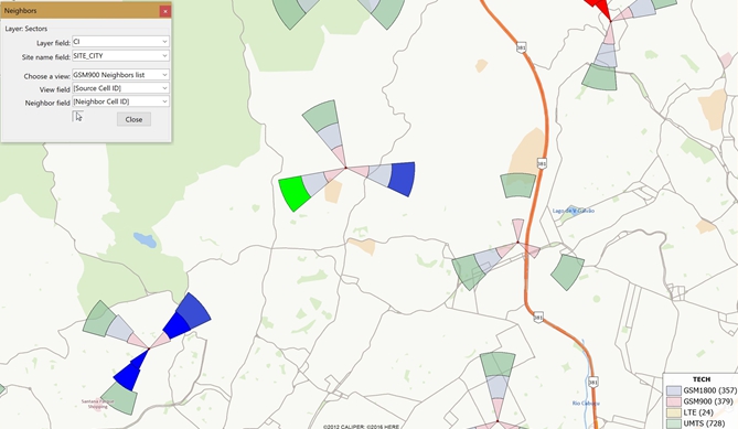
- Choose Tools>GIS Developer's Kit>Add-Ins and click on
Neighbors to open the Neighbors
toolbox.
- Choose the field in the sectors layer that contains the
transmitter/tower ID from the Layer field drop-down
list.
- Choose the field that contains the name of the site from the
Site Name Field drop-down list.
- Choose the name of the adjacency table from the
Choose a view drop-down list.
- Choose the field in the adjacency table that contains the
transmitter/tower IDs from the View Field
drop-down list.
- Choose the field in the adjacency
table that contains the neighbor IDs from the
Neighbor field drop-down list.
- Click
 in the Neighbors toolbox, then click on a sector in the map.
Maptitude displays all of its neighbors in red, and all other
sectors in blue,
in the Neighbors toolbox, then click on a sector in the map.
Maptitude displays all of its neighbors in red, and all other
sectors in blue,
- Click Close to close the Neighbors dialog box .