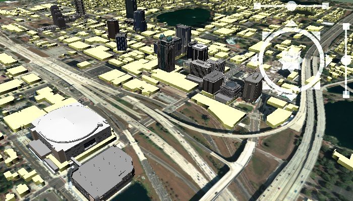
3D surface mapping tools allow you to display, manage, and interpret elevation-based geographic information, and to accurately create, explore, and refine scenarios directly within a 3D environment. You can further refine 3D surface maps and 3d map models with any of the included Maptitude models and any combination of SketchUp, VRML, or 3DS models, such as buildings and landmarks.
Home | Products | Contact | Secure Store
