| Mapping, GIS, & Transportation Software Solutions |
| Mapping, GIS, & Transportation Software Solutions |
NEWTON, MA (USA) - The extensive Maptitude library of free mapping databases has been updated for 2022 and is available for download, supporting insightful business development analysis.
The data is available free to users of the latest version of the Maptitude mapping software. The data are also available as shapefile, KML, KMZ, or GeoJSON for a fee from sales@caliper.com.
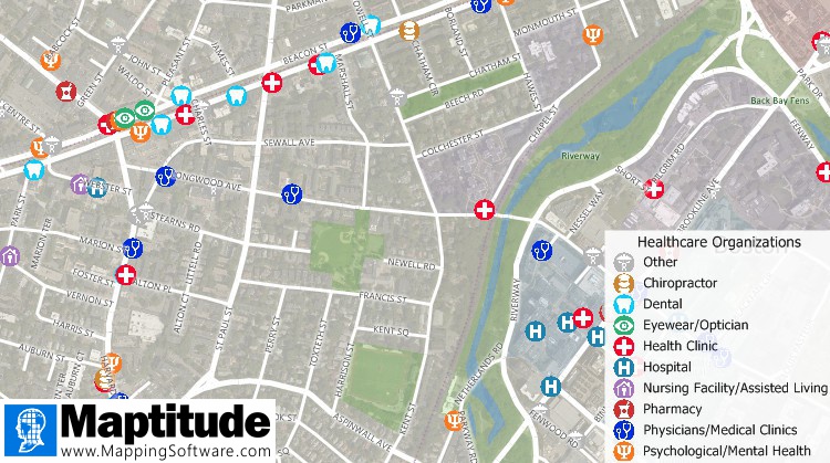
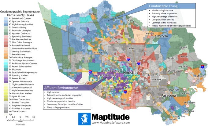
Maptitude includes a vast amount of business critical data at no additional cost, such as demographics, boundaries, streets, and the most accurate ZIP Code/postal boundaries available. There is also a catalog of free premium datasets for download that can be used in other GIS applications, on the web, or in corporate databases:
The Maptitude Team is excited to be able to bring the power and flexibility of our product suite to a global audience and to enable our customers to make geolocation-based decisions internationally. Maptitude ships with one country of your choice (see complete list), and additional Packages can be purchased separately. You can seamlessly switch between countries, which refreshes the Maptitude interface with localized tools for creating maps, finding locations, pin mapping (geocoding), and routing. There are now 33 Country Packages available for Maptitude 2022, covering North America, South America, Europe, South Africa, UAE, India, Australia, and New Zealand. If you have any questions about Maptitude or data availability, contact Caliper.
Caliper Corporation develops state-of-the-art Geographic Information Systems (GIS) software. With a focus on usability, Maptitude is designed to be a cost-effective, professional global mapping software product. Maptitude enables organizations to leverage their location-based data to improve decision making and planning, while minimizing expenditure through competitively priced solutions.
Caliper is a privately held corporation and is a leading developer of mapping, redistricting, transportation, and GIS software.
Home | Products | Contact | Secure Store