FREE Download
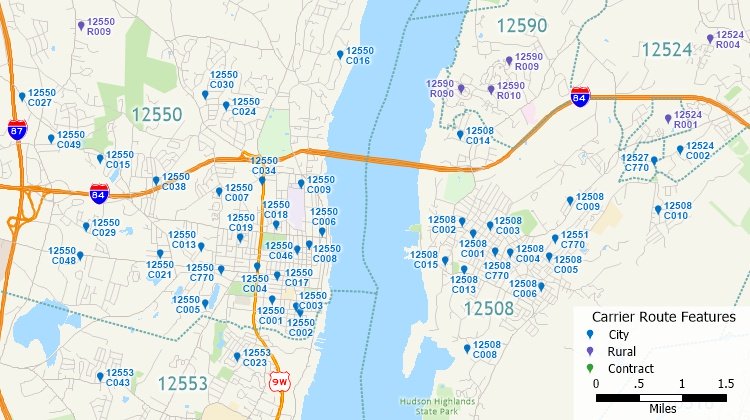
A FREE point layer of USPS carrier route centroids* for the United States is available
for current users of Maptitude. These data are based on the USPS
Carrier Route product and contain 247,897 total points across the
US. The layer includes the following data fields:
- The ZIP Code for the carrier route
- The Carrier Route ID (a four character code assigned to a
mail delivery or collection route within a 5-digit ZIP Code)
- The number of addresses served by each carrier route
- The carrier route type (Rural, City, or Contract)
- The number of businesses served by the carrier route
- The number of residences served by the carrier route
- Twelve demographic fields describing median income, median
age, age distribution, and average household size
Available File Formats:
Price: FREE* For
users of the current version of Maptitude or TransCAD
FREE Download
Related Products:
*Requires latest Maptitude or TransCAD license