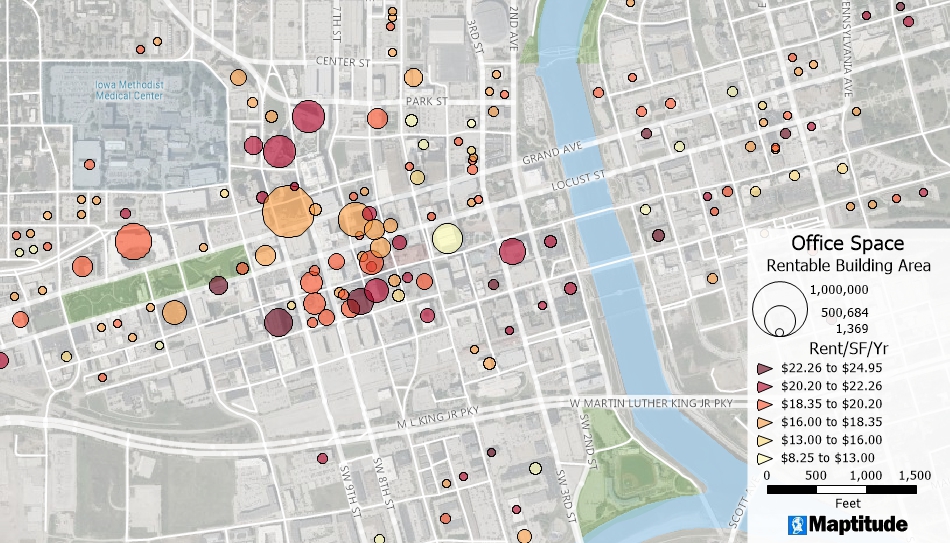
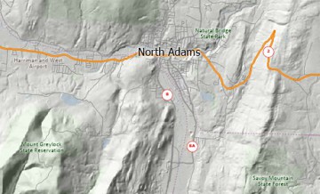
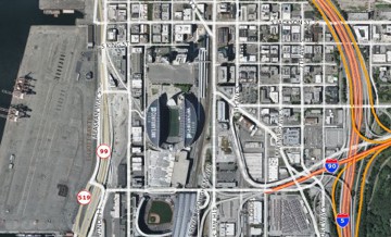
Maptitude lets you use one or more satellite images, aerial photographs, terrain images, road maps, scanned documents, or hybrid images as background layers in your maps. They can improve the appearance of your maps, add to the depth of information displayed there, and provide a basis for editing and updating your map files.
With an internet connections, you can also use built-in tools to access multiple sources of background imagery including Google, OpenStreetMap, USGS, and Virtual Earth.

Home | Products | Contact | Secure Store
