Mapping Software and GIS Glossary
An aerial photo is any image captured above ground level by a satellite, plane, or drone, for example. Aerial photos are typically used as map background layers in mapping software to provide context and to support analysis such as time series change, land use detection, and the location of man-made features.
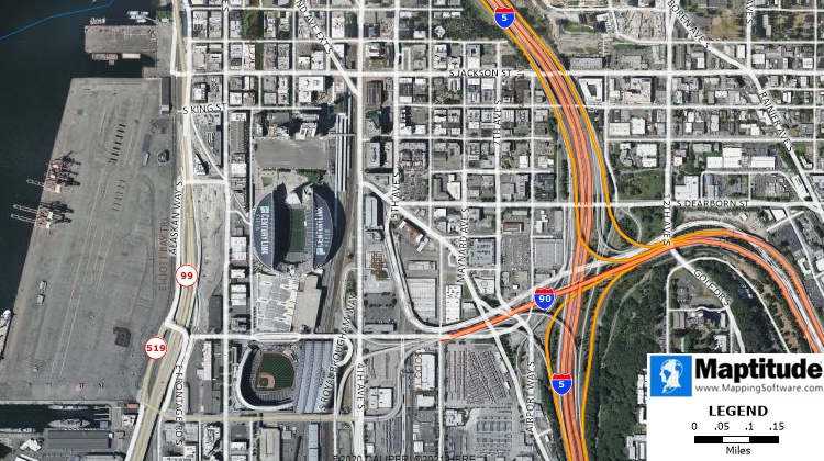
A Maptitude map with a satellite aerial photo background.
Maptitude Mapping Software gives you all of the tools, map layers, and data you need to analyze and understand how geography affects you and your business. Maptitude also supports aerial photos of many sorts including online satellite imagery, MrSID files, TIFF and GeoTIFF files, JPEG and JPEG2000 files, digital orthophotos, SPOTVIew satellite images, and more.
Learn More Free Trial Free for Students/Teachers
![]()
![]()
![]()
![]()
![]()
![]()
![]()
![]()
Home | Products | Contact | Secure Store
