In many states, local governments that elect by district must, every ten years, redraw their district lines to ensure that their districts have equal population.
Local redistricting can involve any county, city, school district, community college district, or special district that is divided into districts or divisions. These local government agencies are required to review their current district boundaries with new population figures from the 2020 census and work through the redistricting process.
Local government redistricting software
Who will benefit from Maptitude for Redistricting for local redistricting? Anyone who is involved in adopting the new district lines: city councils, school boards, county and city managers, county and city attorneys, school attorneys, school superintendents, county and city Geographic Information System (GIS) directors, election directors from local governments that elect from districts, the local governing body, and boards of supervisors.
A web-based version, Maptitude Online Redistricting, is suitable for individual citizens and legislators who wish to propose boundaries for their district or even an entire plan. There is also a version that runs as an extension to ArcGIS if you prefer working in that GIS environment.
To learn more about Maptitude for Redistricting, please see the Features page. For more information on the City/County Edition, contact Caliper Sales at sales@caliper.com or by phone at 617-527-4700.
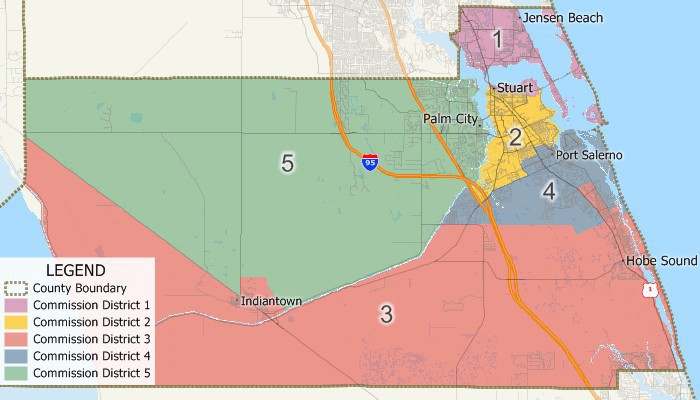
Local Government Redistricting is the redrawing of electoral boundaries to meet certain balancing criteria because in the United States, as for national and state legislatures, local governments are obligated to redistrict following the decennial census if they have elected members.
 Ventura County, CA A community-based task force’s redistricting plan |
 Glynn County, GA Redistricting unbalanced county districts |
 NYC Board of Elections Redrawing lines due to reapportionment |

|
“It's light years ahead. The software can do so much more, so much more quickly.” Karl Aro |
Maptitude is the perfect solution for adding additional GIS users where Esri software is already in use. Maptitude:
|
Albany NY Anne Arundel County MD Barton County KS Bloomington MN Blount County AL Chaffee County CO Clay County WV Cobb County GA Cumberland County ME DeSoto County MS Forsyth County GA Hennepin County MN Hood County TX Jefferson MO Kent County DE Kent County MI |
Lake Charles LA Lincoln County MT Madison County AL Marion County WV McCracken County KY Miami-Dade County FL Nassau County NY Navajo Nation AZ New York NY Pasadena CA San Benito County CA Sanford/Lee County NC Santa Barbara County CA Vigo County IN Westchester County NY More Redistricting Clients>> |