| Mapping, GIS, & Transportation Software Solutions |
| Mapping, GIS, & Transportation Software Solutions |
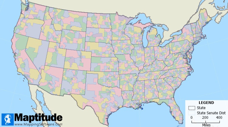
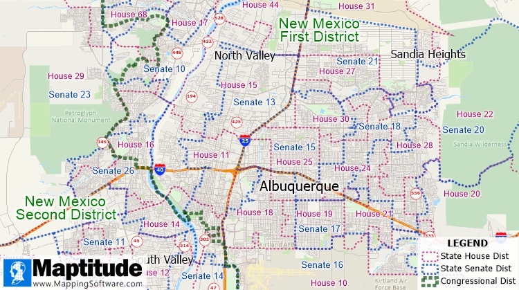
NEWTON, MA (USA) - The State Legislative Districts Data for the 2020 redistricting cycle is now available for the entire USA or for single states. Three area databases provide the latest boundaries for the 118th Congressional Districts (2023-2024), State House/Assembly (lower chamber) districts, and State Senate (upper chamber) districts.
This is the latest, most comprehensive and accurate, mapping of the political geography of the USA. The legislative district data is critical for answering questions such as "What boundaries will be used in the November 2022 midterm elections?", "In which districts are my addresses located?" or "In which districts should I expend the most effort?"
These layers are packed with essential information for corporate legislative affairs departments, lobbyists, political consultants, political parties, and anyone else involved in political affairs. Each legislative district includes 2020 Census counts for 18+ population, total population, race, ethnicity, and group quarters.
The price is $1,295 for the entire United States or $495 for a single state. The data is available to users of the latest version of Maptitude. The data are also available as shapefile, KML, KMZ, or GeoJSON for a fee from sales@caliper.com.


Home | Products | Contact | Secure Store