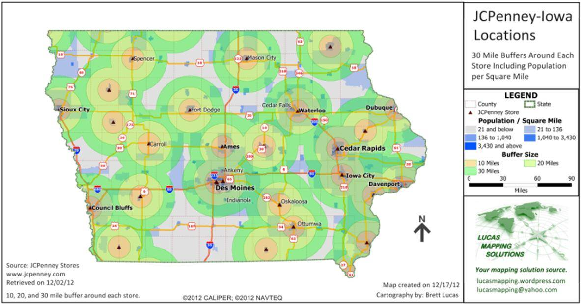
Maptitude is the best mapping software for business intelligence! This map shows a 10-, 20-, and 30-mile buffer/radius around each JCPenney Store in Iowa. Also shown on this map is the underlying population per square mile. This type of map can help a business determine if there is a population base that is under-served, and where to consider sites for expansion.
Featured Maptitude Mapping Software Map: August 2013
Created by: Lucas Mapping Solutions, December 2012
Home | Products | Contact | Secure Store
