Mapping Software and GIS Glossary
A coordinate system is a method for identifying the location of a point on the earth. Most coordinate systems use two numbers, a coordinate, to identify the location of a point. Each of these numbers indicates the distance between the point and some fixed reference point, called the origin. The first number, known as the X value, indicates how far left or right the point is from the origin. The second number, known as the Y value, indicates how far above or below the point is from the origin. The origin has a coordinate of 0, 0.
Longitude and latitude are a special kind of coordinate system, called a spherical coordinate system, since they identify points on a sphere or globe. However, there are hundreds of other coordinate systems used in different places around the world to identify locations on the earth. All of these coordinate systems place a grid of vertical and horizontal lines over a flat map of a portion of the earth.
A complete definition of a coordinate system requires the following:
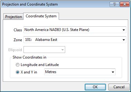
Maptitude supports dozens of different coordinate systems
Maptitude Mapping Software gives you all of the tools, maps, and data you need to analyze and understand how geography affects you and your business. Maptitude supports dozens of coordinate systems allowing you to work with data from almost any source.
Learn More Free Trial Free for Students/Teachers
![]()
![]()
![]()
![]()
![]()
![]()
![]()
![]()
Home | Products | Contact | Secure Store
