Mapping Software and GIS Glossary
A Digital Elevation Model (DEM) is a specialized database that represents the relief of a surface between points of known elevation. By interpolating known elevation data from sources such as ground surveys and photogrammetric data capture, a rectangular digital elevation model grid can be created.
GIS software can use digital elevation models for 3D surface visualization, generating contours, and performing viewshed visibility analysis.
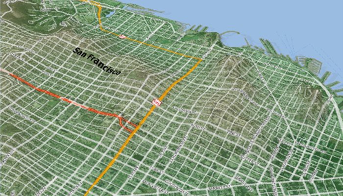
Digital elevation models with surface elevation data can be used to drape maps onto a 3D surface.
Maptitude Mapping Software gives you all of the tools, maps, and data you need to analyze and understand how geography affects you and your business including surface analysis tools and 3D tools based on digital elevation models.
Learn More Free Trial Free for Students/Teachers
![]()
![]()
![]()
![]()
![]()
![]()
![]()
![]()
Home | Products | Contact | Secure Store
