Mapping Software and GIS Glossary
Pin mapping (also know as address matching or geocoding) is the process of assigning map coordinate locations to records in a database. A GIS is capable of doing this by comparing the geographic elements of each feature in the database (e.g., address, city, postal code) to the attributes of each feature in a map layer to find a match. The output of pin mapping is a point layer attributed with all of the data from the input database.
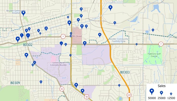
This map shows the results of pin mapping a data table of customer data. All of the original source data, such as sales volume, are also available for mapping and labeling the pin mapped point features.
Maptitude Mapping Software gives you all of the tools you need to address match and analyze your data.
Learn More Free Trial Free for Students/Teachers
![]()
![]()
![]()
![]()
![]()
![]()
![]()
![]()
Home | Products | Contact | Secure Store
