TransModeler 6.1 is now available! TransModeler is the world’s most modern and effective traffic simulator blending greater realism in driver and vehicle behavior with unparalleled support for modern and future traffic management strategies, all while achieving unprecedented levels of computational performance. Here are some highlights:
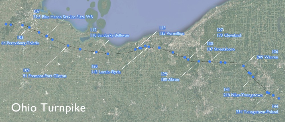
With Version 6.1, there are major upgrades in the modeling of vehicle platooning and other aspects of connected and autonomous vehicles (CAV). In addition, there is support for new advanced transportation management strategies (ATMS), including speed harmonization and new ramp metering control algorithms. These capabilities were brought to fruition to support a project for Ohio DOT exploring the impacts of connected and autonomous vehicles on the Brent Spence Bridge in Cincinnati and on 200 miles of the Ohio Turnpike.
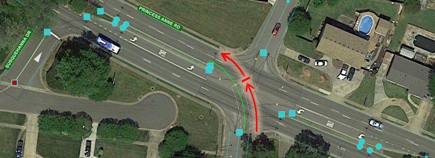
There are also advances in driver behavior models. Notably, there is a newly developed model of two-stage gap acceptance at two-way stop-controlled intersections. This adds to the list of important road and traffic features, such as two-way left turn lanes (TWLTL), on-street parking, peak period shoulder running, and reversible lanes, that are supported without the need for significant customization, duplication of model networks, or modeling approximations.
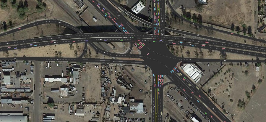
TransModeler 6.1 was used to simulate the Arizona Department of Transportation’s adaptive ramp metering algorithm MaxFlow for the Maricopa Association of Governments. To support this effort, the application programming interface (API) in TransModeler 6.1 was enhanced to make it simpler and more cost-effective to implement and test custom ramp metering strategies in addition to the several that can be simulated in TransModeler out of the box without any programming at all.
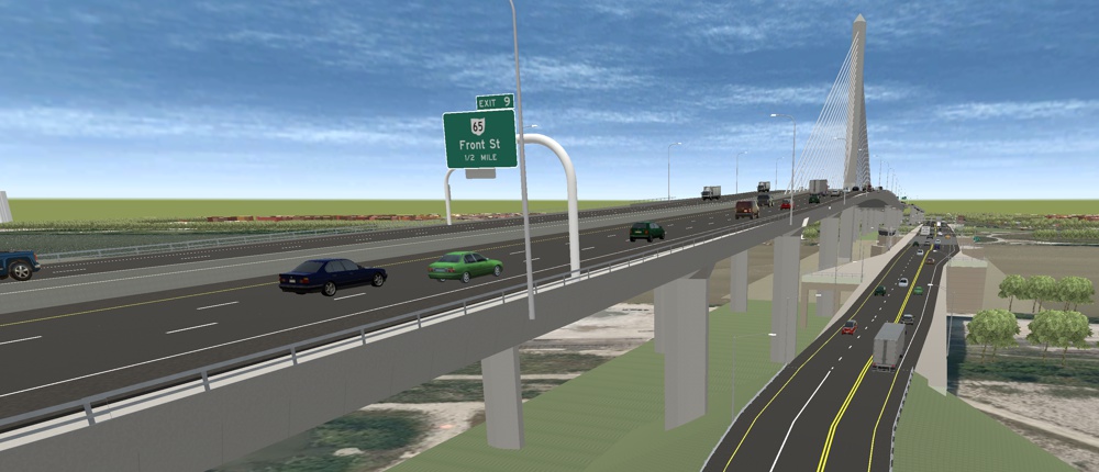
TransModeler 6.1 also incorporates new simulation run automation tools for more efficient alternatives analysis, sensitivity testing, scenario planning, and exploratory modeling and analysis. There are also substantial upgrades to 3D animation and simulation output visualization that elevate communication of project benefits.
TransModeler 6.1 integrates the Highway Safety Manual (HSM) Part C predictive methods for freeways, ramps, and ramp terminal intersections. Many of the geometric data that are routine inputs for microsimulation in TransModeler are also drivers of safety performance. Further, the extensible GIS architecture of TransModeler, which makes it ideal for warehousing traffic data such as AADT that also feed safety analyses, makes TransModeler a natural platform for storage and management of safety data and metrics. Now, simulation models created for operational analyses are a quick and cost-effective starting point for your safety analysis, and vice versa.
To support the use and integration of traffic simulation and simulation-based dynamic traffic assignment (DTA) with travel demand models, TransModeler now provides deployment-ready integrations with ActivitySim, DaySim, and CT-RAMP for metropolitan areas around the country. As a result of these efforts, we have further refined the underlying software architecture, achieving faster running times and expanding support to more varied tour and trip list formats.
To increase the utility of mesoscopic simulation and mesoscopic-based DTA models, we have improved the operational fidelity and running times of the mesoscopic model in TransModeler. Mesoscopic models that have results that more closely approach those from microsimulation are an important advance and greatly enhance the validity of hybrid meso-micro traffic models and DTA models.
With TransModeler, we continue to pioneer and demonstrate the value of lane-level GIS. Our lane-level mapping of the U.S. road system continues to expand and provide TransModeler users with free data to jumpstart their simulation and traffic impact projects. Lane-level road maps capture the geometric details not only for improved simulation models but also provide critical inputs for safety analysis using HSM and highway inventory reporting. Ask us if we have coverage for your study area.
Learn More About TransModeler
Learn More About TransModeler SE
Contact Sales
Click here to see features that were new to Version 6.0
Home | Products | Contact | Secure Store