Mapping Software and GIS Glossary
In redistricting, the base layer is the most detailed geographic layer of the plan; all other layers in the hierarchy are larger aggregations of the polygons in the base layer. For example, a city council district plan may use Census blocks as the base layer or a state congressional district plan may use voting districts as the base layer.
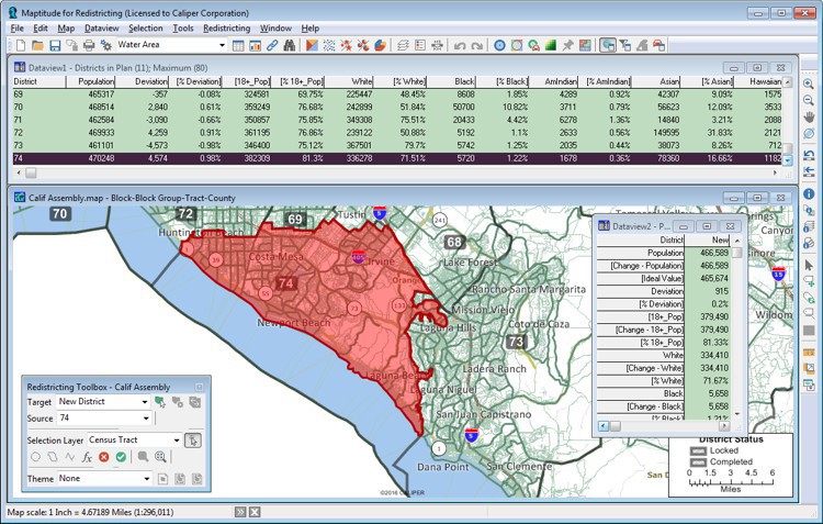
Maptitude for Redistricting helps you build balanced districts using whatever base layer that you choose.
Maptitude for Redistricting is the professional tool for political redistricting. Designed with input from redistricting professionals, state legislatures, and political parties, Maptitude for Redistricting has the features redistricters want and is easy to learn and use. Maptitude for Redistricting includes everything you need to build balanced districts from any base layer such as voting districts, Census blocks, or counties.
Home | Products | Contact | Secure Store
