Mapping Software and GIS Glossary
A District is the boundary that defines the constituency from which a public official is elected. Examples of districts include:
Districts typically need to be balanced by population and need to be redrawn periodically to account for changes in population.
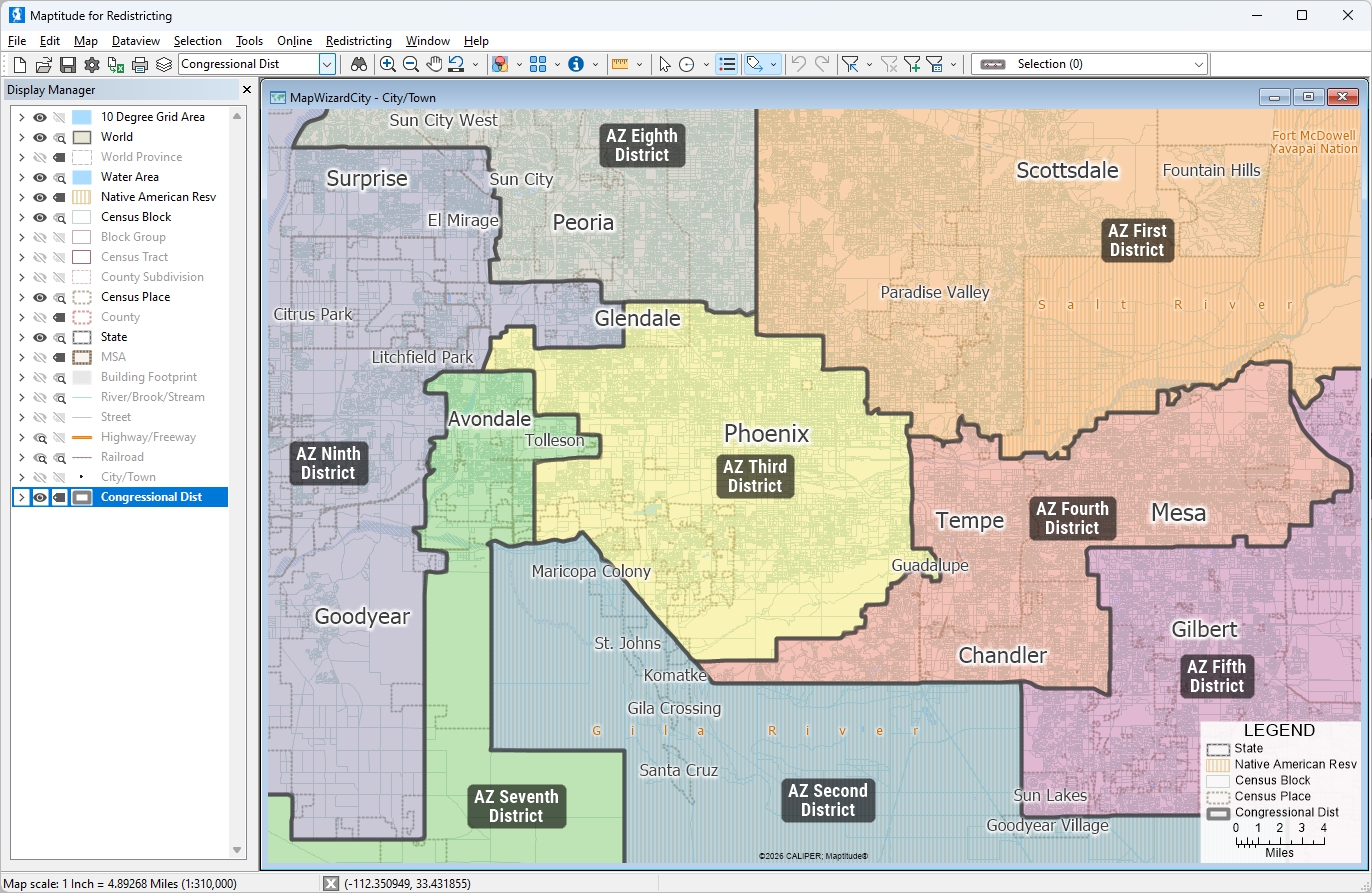
This map shows the boundaries of Arizona Congressional Districts. The areas within each district are represented by one member of congress and they contain equal populations.
Maptitude for Redistricting is the professional tool for political redistricting. It is used by a supermajority of the state legislatures, political parties, and public interest groups for creating districts for all levels of government.
Home | Products | Contact | Secure Store
