Mapping Software and GIS Glossary
Maptitude has built-in and native data and file format translations, interoperability, and transformations (i.e., spatial extract, transform, load or “spatial ETL”, also known as geospatial transformation and load, GTL).
Geosptial and geographic data can be imported, exported, and shared in numerous formats, with native support for spatial ETL operations for many formats including Esri formats.
File format support, import, and export, is extensive and includes that for Esri Shapefiles, Personal and File Geodatabases, Feature Classes, and ArcSDE File Geodatabases. This does not require third-party plugins to support common data formats. Compare this to other GIS software that have requirements for subscription and/or credit usage to manipulate and process data.
In addition to our online sharing solution, we support over 50 file types and more than 100 GIS and CAD formats (including Esri) ensuring data retention and transferability.
You have unlimited geocoding when using the Maptitude mapping tools. You can use the built-in geocoding tools to find a point in your table for each record and to see your clients, services, or other resources on a map.
Maptitude has Active Topology™ map editing, a feature that helps you get the result you want when you edit a map. For example, suppose you are editing a road layer and move an intersection, Maptitude automatically adjusts all of the streets that meet at the intersection.
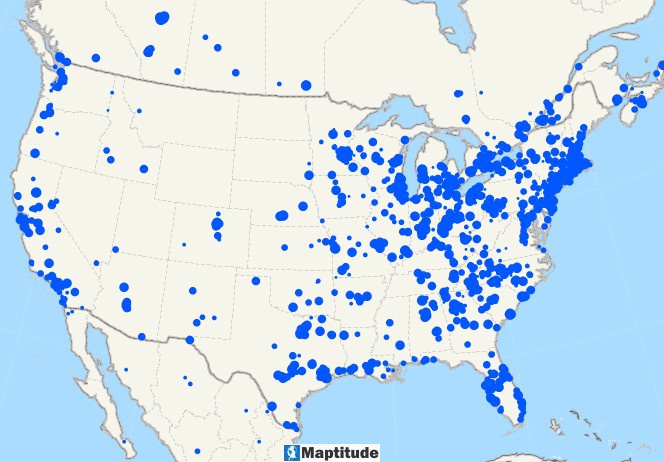
What is Spatial ETL: Map with geocoded points in North America
Maptitude mapping software supports import and export of data in most projections and coordinate systems, including modern definitions such as Equal Earth, Natural Earth, Natural Earth II, and Patterson.
Learn More Free Trial Free for Students/Teachers
![]()
![]()
![]()
![]()
![]()
![]()
![]()
![]()
Home | Products | Contact | Secure Store
