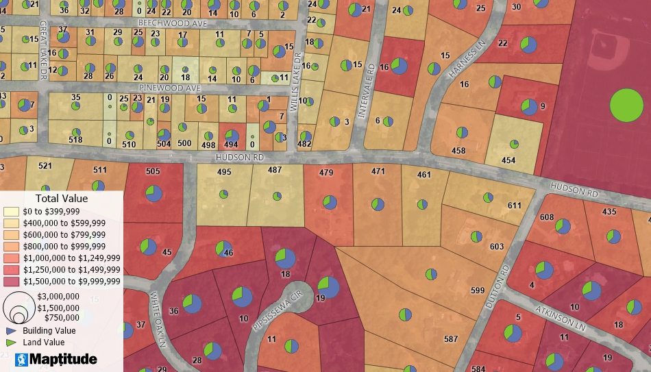
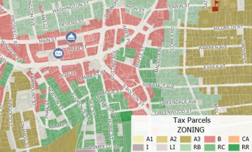
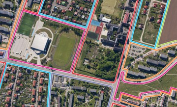
Import parcel data from government sources or create your own parcel maps with the geographic editing tools. Identify parcels based on zoning, historic districts, proximity to services, size, value, and more.
Maptitude Overview
How to Buy
Maptitude Brochure
Demo & Tutorial Videos
Live Demo Request
More sample maps
GIS Software for Municipal Government
How to Measure "Land Use Mix" Using Entropy
GIS for Local Government: Planning/Zoning
Home | Products | Contact | Secure Store
Copyright © Caliper Corporation