Most data in spreadsheets and databases have a place-based component that is created or measured and analyzed using location technology. Two-dimensional (2-D) maps are a great way to visualize your organization’s tabular records, allowing you to quickly see the information and trends hidden in your geographic data.
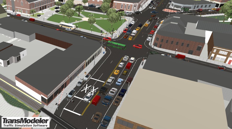
Just as we have all used digital maps and directions because they are an intuitive way for people to understand and analyze data, it is also true that three-dimensional (3-D) geographic information systems (GIS) are a powerful platform for understanding and working with big data, such as that for transportation systems. When you zoom in on a 3-D GIS simulation, you are essentially filtering by space and time what would otherwise be a huge amount of raw and complex data. For example, if you are planning a new shopping mall, you can show members of the public what impact it would have on their evening commute by dropping into one of the simulated vehicles. And rather than forcing them to relive their future commute, you can speed up the simulation allowing an exploration of several what-if scenarios so that stakeholders can decide on the best possible plan.
Location technologies can use data from an organizations’ systems and in a wide variety of file formats. This ability to merge and overlay datasets exposes errors and holes in data collections, resulting in a need to standardize, synchronize, and clean the information held in disparate sources.
Being able to analyze and share location information via location software empowers an organization to make better informed decisions when:
Location technology companies include organizations such as Caliper Corporation that produce location software such as Maptitude mapping software. Maptitude uses integrated location-based data to enhance your own results, adding location intelligence to your "business intelligence" toolkit.
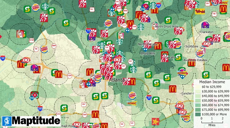
Location technology platforms such as Foursquare use data on customers to rank different types of businesses, such as fast-food chains, with Maptitude user Hardees (CKE Restaurants) highly ranked.
Location tools are powerful and versatile and can be used in most industries to explore a variety of tasks (examples...).
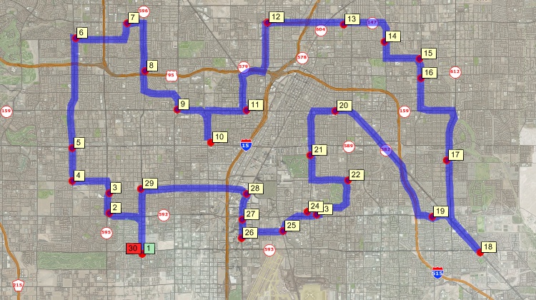
With Maptitude map software and a GPS receiver that determines your location with reference to GPS satellites you can perform GPS tracking with a portable Windows device. More on GPS location tracking...
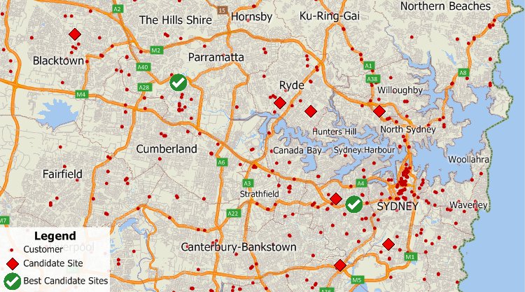
Maptitude provides an extensive amount of location data that supports the analysis of location services. You can visualize the geographical location of your sites or those of your competitors to determine unexplored markets, untapped consumer segments, or for a range of other applications such as monitoring and planning for location based advertising.
 How CKE Grew Their Business with Maptitude
Business analysts need to quickly manage and share their maps and data within their team. Franchisors and retailers need their maps to be updated with their latest corporate data. Hospitals and banks need the most up-to-date demographic information. Maptitude location technology software makes it easier than ever to meet these needs. Here are four key areas where Maptitude will prove to be critical to your organization:
Business analysts need to quickly manage and share their maps and data within their team. Franchisors and retailers need their maps to be updated with their latest corporate data. Hospitals and banks need the most up-to-date demographic information. Maptitude makes it easier than ever to meet these needs. Here are four key areas where Maptitude will prove to be critical to your organization:
Home | Products | Contact | Secure Store