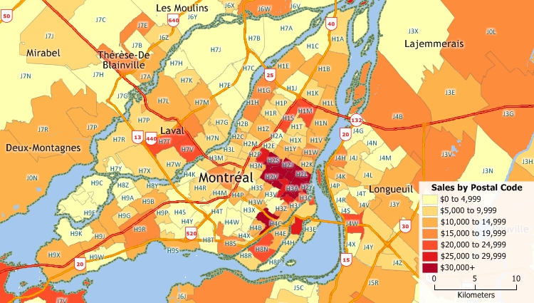
There are many benefits when you use Maptitude postal code mapping software:

|
“Maptitude helped me to quickly locate and exhibit post code hot spots across the country in an effective and attractive way - it's turned my extensive datasets into compelling stories, and helped build credibility with my clients and the wider community.”
|
 |
“The best mapping software you'll ever need. I've been using Maptitude since the mid-90's. I love the [postal code] boundaries and demographic data that comes with it. To be honest, we originally bought it because it was the easiest way to acquire Census data. Since then we have continuously used it for a wide range of client projects.”
|

Maptitude Demo |

Maptitude |
The best postal code mapping software! Here's why:√ Maptitude is the easiest-to-use full featured mapping software, and includes powerful tools such as multi-ring drive-time zones √ Maptitude has no subscription fees, and supports secure off-line data storage
√ Maptitude provides fully customisable maps with unlimited point icons √ Maptitude has unlimited pin-mapping/geocoding √ Maptitude includes free mapping data and demographics (where available) covering everything from population statistics to business locations, postal codes, and more! |
Home | Products | Contact | Secure Store