Maptitude Geographic Information System (GIS) software is the intelligent mapping solution for business, government, and education. Maptitude is a powerful combination of software and geographic data that provides everything you need to realize the benefits of desktop mapping and spatial analysis with a single, easy-to-use package.
Maptitude with the Europe Country Package is the best buy for those needing to create detailed maps and analysis in Iceland and elsewhere in Europe.
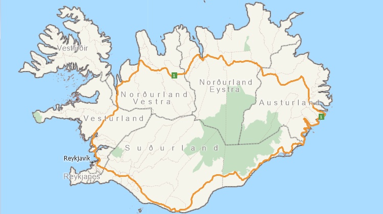
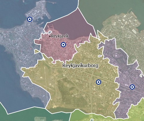
Maptitude mapping software for Iceland.
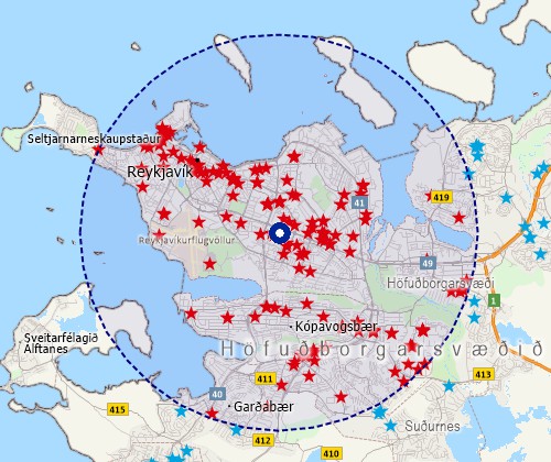
Locate your customers with Maptitude Iceland mapping software
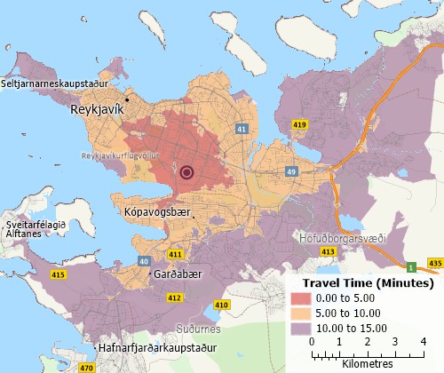
Perform drive-time analysis
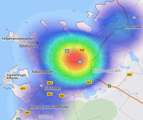
Visualise spatial patterns
The Europe Country Package for Maptitude includes extensive geographic data so that you can get started as soon as you install the software. The following geographic files are included:
| Nationwide HERE Europe Geographic Data Layers |
|---|
|
Create catchment areas and territories
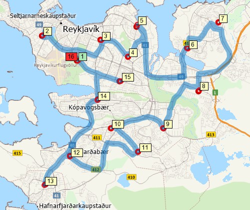
Find optimised routes serving multiple stops
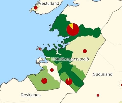
Create many types of thematic maps
For more information on Maptitude please visit the Maptitude Overview Page or email a request for a live demo now.
Email Caliper or call +1 617-527-4700 for pricing information.
Home | Products | Contact | Secure Store
