Mapping Software and GIS Glossary
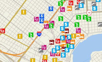
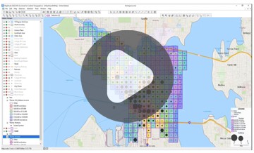
Forensic GIS provides evidence that assists in either proving or disproving in a court of law the links between people, places, and objects. Forensic GIS is concerned with the application of geographic and spatial tools, principles, and methodologies to investigate and establish facts. Forensic GIS is useful in investiging crime, prosecuting offenders, exonerating suspects, and providing evidence in civil lawsuits.
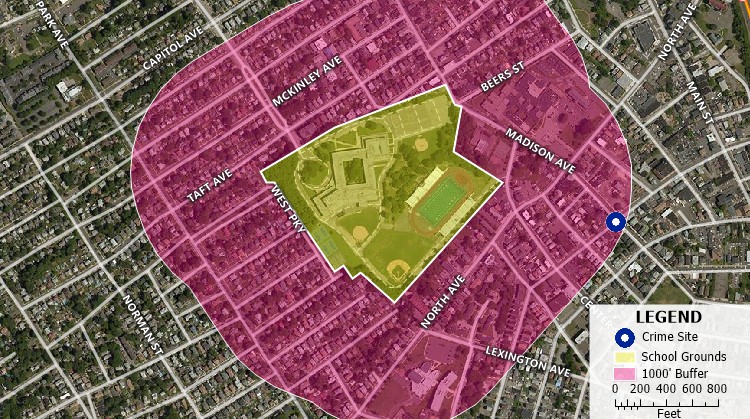
Maptitude Mapping Software gives you all of the tools, maps, and data you need to analyze and understand how geography affects you and your business. Maptitude has numerous tools that are useful for forensic GIS.
Learn More Free Trial Free for Students/Teachers
![]()
![]()
![]()
![]()
![]()
![]()
![]()
![]()
Home | Products | Contact | Secure Store