Whether you are collecting and editing geographic, vector, or tabular data, sharing your maps publicly or privately, or performing any location-based analysis, Maptitude will support your business processes.
There are many benefits when you use Maptitude as an alternative to GIS Cloud™:
With Maptitude you will be able to:
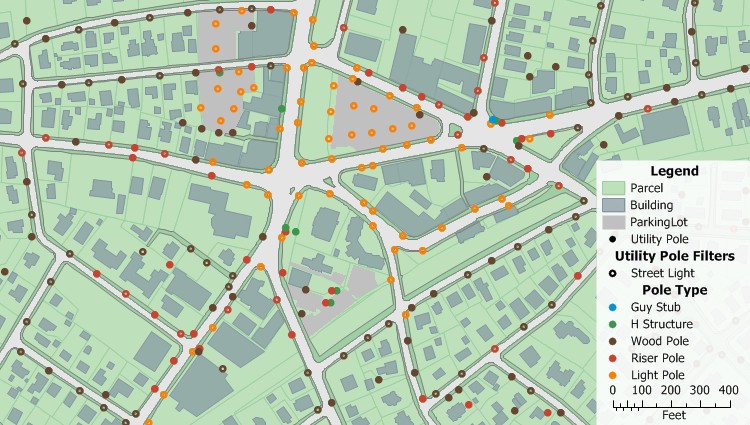
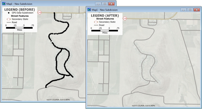
Manually create map layers, collect map data with a GPS, or download map data layers with Maptitude GIS Cloud alternative.

Mobile geographic information system (GIS) technology supports the use of GIS beyond the desktop and allows organizations to accurately collect data and share results remotely from the field.
Maptitude GIS Cloud replacement is a GIS application specially designed for the Windows platform and supports use in the field. Integrating with GIS and GPS technologies, Maptitude allows you to easily collect and survey spatial data in the field with Windows devices.

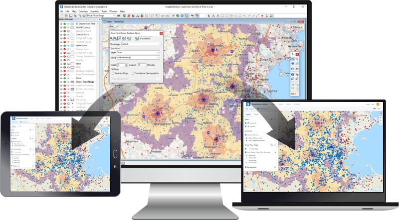
Maptitude Online Sharing allows you to share the maps and reports that you create in Maptitude with people who don't have the desktop Maptitude software. The straight-forward publishing tools allow you to easily distribute your findings and results to those that need them within an organization and beyond.

Maptitude is the perfect solution for adding additional GIS users where GIS Cloud software is already in use. Maptitude:
√ Maptitude is the easiest-to-use full featured mapping software, and includes powerful tools such as multi-ring drive-time zones
√ Maptitude has no subscription fees, and supports secure off-line data storage
√ Maptitude provides fully customizable maps with unlimited point icons
√ Maptitude has unlimited pin-mapping/geocoding
√ Maptitude includes free mapping data and demographics covering everything from population statistics to business locations, postal/ZIP Codes, and more!

|
“Best Mapping software available. Exceeded our expectations. Provides clear maps with plenty of customization to tailor our maps to fit our clients' needs. Excellent drive-time mapping and very simple customer database plotting. Light years better than our previous mapping software.”
|


 Check out our G2 Reviews
Home | Products | Contact | Secure Store