Mapping Software and GIS Glossary
A Metes and Bounds Report creates a detailed legal description of the district boundaries using TIGER data or generic GIS data to define and describe the boundaries of the districts.
For example, a metes and bounds description of a district may be something like this:
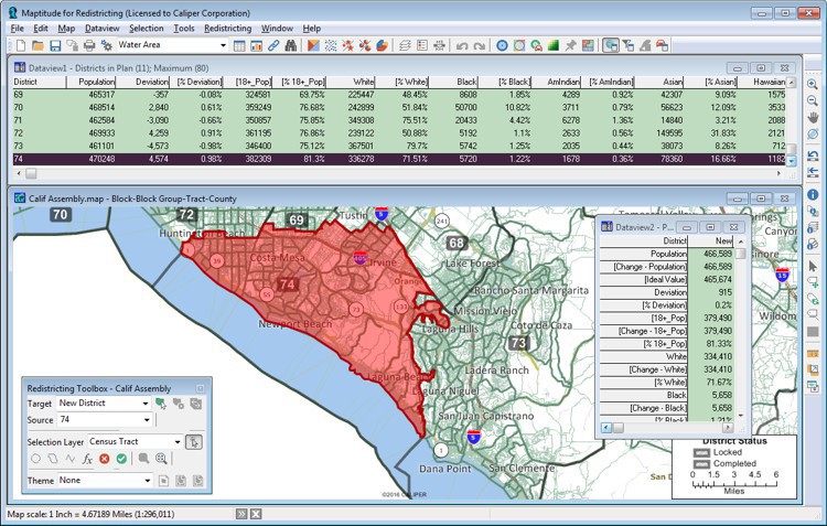
74th District
All of
that portion of Orange CA County bounded and described as
follows: Beginning at the point of intersection of Harbor Blvd
and Sunflower Ave and proceeding easterly along Sunflower Ave to
Wakeham Ave, and proceeding easterly along Wakeham Ave to Bear
St, and proceeding southerly along Bear St to Sunflower Ave, and
proceeding easterly along Sunflower Ave to Main St, and
proceeding southerly on Main St to Costa Mesa Fwy...and
proceeding northerly along Santa Ana River to MacArthur Blvd,
and proceeding easterly along MacArthur Blvd to Harbor Blvd, and
proceeding southerly along Harbor Blvd the point of
beginning.
Maptitude for Redistricting is the professional tool for political redistricting. Designed with input from redistricting professionals, state legislatures, and political parties, Maptitude for Redistricting has the features redistricters want and is easy to learn and use. Maptitude for Redistricting includes a full suite of reports including population summary, incumbents, plan components (bill language), plan statistics, metes and bounds, communities of interest, core constituencies, measures of compactness, and more.
Home | Products | Contact | Secure Store
