Mapping Software and GIS Glossary
Geoforensics (or forensic geoscience) describes the application of geography or earth science to criminal forensic investigations. Techniques used include remote sensing, geophysics, and topographic mapping, for example, to map and determine whether sediment, rocks, or concrete contain hidden or buried materials such as drugs, weapons, or bodies.
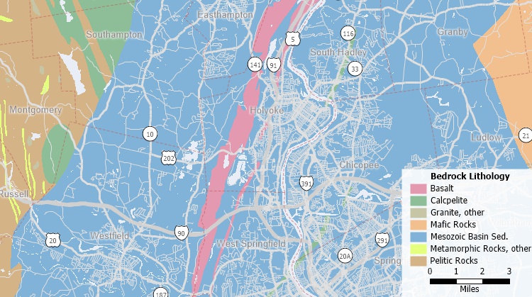
Maptitude Mapping Software gives you all of the tools, maps, and data you need to analyze and understand how geography affects you and your business. Maptitude has numerous tools that are useful for geoforensics.
Learn More Free Trial Free for Students/Teachers
![]()
![]()
![]()
![]()
![]()
![]()
![]()
![]()
Home | Products | Contact | Secure Store
